Distance from Maba to Shantou
Distance between Maba and Shantou is 349 kilometers (217 miles).
Driving distance from Maba to Shantou is 617 kilometers (384 miles).
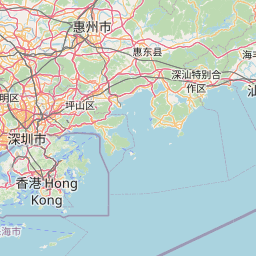
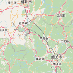
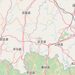
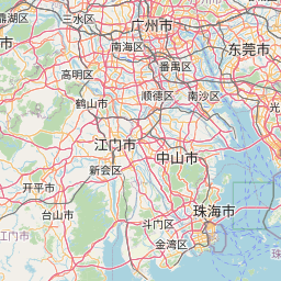
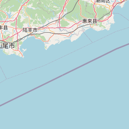
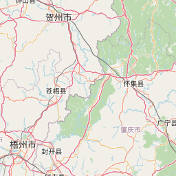
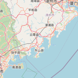
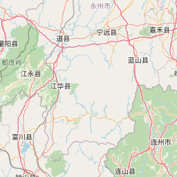
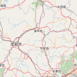
Distance Map Between Maba and Shantou
Maba, Guangzhou, China ↔ Shantou, Guangzhou, China = 217 miles = 349 km.

How far is it between Maba and Shantou
Maba is located in China with (24.6841,113.5984) coordinates and Shantou is located in China with (23.3681,116.7148) coordinates. The calculated flying distance from Maba to Shantou is equal to 217 miles which is equal to 349 km.
If you want to go by car, the driving distance between Maba and Shantou is 617.45 km. If you ride your car with an average speed of 112 kilometers/hour (70 miles/h), travel time will be 05 hours 30 minutes. Please check the avg. speed travel time table on the right for various options.
Difference between fly and go by a car is 268 km.
| City/Place | Latitude and Longitude | GPS Coordinates |
|---|---|---|
| Maba | 24.6841, 113.5984 | 24° 41´ 2.8680'' N 113° 35´ 54.2040'' E |
| Shantou | 23.3681, 116.7148 | 23° 22´ 5.3040'' N 116° 42´ 53.2440'' E |
Estimated Travel Time Between Maba and Shantou
| Average Speed | Travel Time |
|---|---|
| 30 mph (48 km/h) | 12 hours 51 minutes |
| 40 mph (64 km/h) | 09 hours 38 minutes |
| 50 mph (80 km/h) | 07 hours 43 minutes |
| 60 mph (97 km/h) | 06 hours 21 minutes |
| 70 mph (112 km/h) | 05 hours 30 minutes |
| 75 mph (120 km/h) | 05 hours 08 minutes |
Related Distances from Maba
| Cities | Distance |
|---|---|
| Maba to Shantou | 617 km |
| Maba to Nanfeng | 434 km |
| Maba to Yunfu | 350 km |
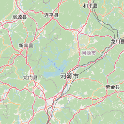
| Maba to Heyuan | 327 km |
| Maba to Zhaoqing | 304 km |
Related Distances to Shantou
| Cities | Distance |
|---|---|
| Chaozhou to Shantou | 49 km |
| Jieyang to Shantou | 49 km |
| Dongguan to Shantou | 383 km |
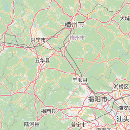
| Meizhou to Shantou | 158 km |
| Foshan to Shantou | 463 km |