Distance from Maba to Wuchuan
Distance between Maba and Wuchuan is 461 kilometers (287 miles).
Driving distance from Maba to Wuchuan is 565 kilometers (351 miles).
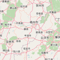
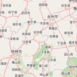
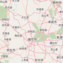
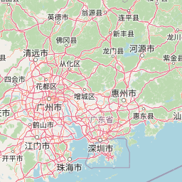
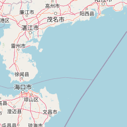
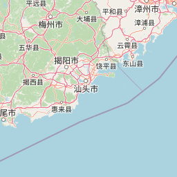
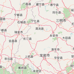
Distance Map Between Maba and Wuchuan
Maba, Guangzhou, China ↔ Wuchuan, Guangzhou, China = 287 miles = 461 km.


How far is it between Maba and Wuchuan
Maba is located in China with (24.6841,113.5984) coordinates and Wuchuan is located in China with (21.4571,110.7659) coordinates. The calculated flying distance from Maba to Wuchuan is equal to 287 miles which is equal to 461 km.
If you want to go by car, the driving distance between Maba and Wuchuan is 565.11 km. If you ride your car with an average speed of 112 kilometers/hour (70 miles/h), travel time will be 05 hours 02 minutes. Please check the avg. speed travel time table on the right for various options.
Difference between fly and go by a car is 104 km.
| City/Place | Latitude and Longitude | GPS Coordinates |
|---|---|---|
| Maba | 24.6841, 113.5984 | 24° 41´ 2.8680'' N 113° 35´ 54.2040'' E |
| Wuchuan | 21.4571, 110.7659 | 21° 27´ 25.6680'' N 110° 45´ 57.2760'' E |
Estimated Travel Time Between Maba and Wuchuan
| Average Speed | Travel Time |
|---|---|
| 30 mph (48 km/h) | 11 hours 46 minutes |
| 40 mph (64 km/h) | 08 hours 49 minutes |
| 50 mph (80 km/h) | 07 hours 03 minutes |
| 60 mph (97 km/h) | 05 hours 49 minutes |
| 70 mph (112 km/h) | 05 hours 02 minutes |
| 75 mph (120 km/h) | 04 hours 42 minutes |
Related Distances from Maba
| Cities | Distance |
|---|---|
| Maba to Shantou | 617 km |
| Maba to Nanfeng | 434 km |
| Maba to Yunfu | 350 km |
| Maba to Heyuan | 327 km |
| Maba to Zhaoqing | 304 km |
Related Distances to Wuchuan
| Cities | Distance |
|---|---|
| Chenghua to Wuchuan | 796 km |
| Foshan to Wuchuan | 355 km |
| Lianzhou to Wuchuan | 615 km |
| Dongguan to Wuchuan | 429 km |
| Zhongshan to Wuchuan | 30 km |