Distance from Madiun to Sampang
Distance between Madiun and Sampang is 195 kilometers (121 miles).
Driving distance from Madiun to Sampang is 253 kilometers (157 miles).
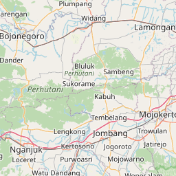
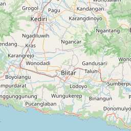
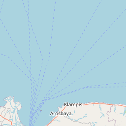
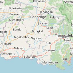
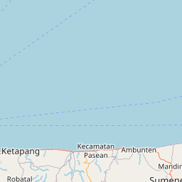
Distance Map Between Madiun and Sampang
Madiun, Surabaya, Indonesia ↔ Sampang, Surabaya, Indonesia = 121 miles = 195 km.

How far is it between Madiun and Sampang
Madiun is located in Indonesia with (-7.6298,111.5239) coordinates and Sampang is located in Indonesia with (-7.1872,113.2394) coordinates. The calculated flying distance from Madiun to Sampang is equal to 121 miles which is equal to 195 km.
If you want to go by car, the driving distance between Madiun and Sampang is 252.84 km. If you ride your car with an average speed of 112 kilometers/hour (70 miles/h), travel time will be 02 hours 15 minutes. Please check the avg. speed travel time table on the right for various options.
Difference between fly and go by a car is 58 km.
| City/Place | Latitude and Longitude | GPS Coordinates |
|---|---|---|
| Madiun | -7.6298, 111.5239 | 7° 37´ 47.2800'' S 111° 31´ 26.0400'' E |
| Sampang | -7.1872, 113.2394 | 7° 11´ 13.9200'' S 113° 14´ 21.8400'' E |
Estimated Travel Time Between Madiun and Sampang
| Average Speed | Travel Time |
|---|---|
| 30 mph (48 km/h) | 05 hours 16 minutes |
| 40 mph (64 km/h) | 03 hours 57 minutes |
| 50 mph (80 km/h) | 03 hours 09 minutes |
| 60 mph (97 km/h) | 02 hours 36 minutes |
| 70 mph (112 km/h) | 02 hours 15 minutes |
| 75 mph (120 km/h) | 02 hours 06 minutes |
Related Distances from Madiun
| Cities | Distance |
|---|---|
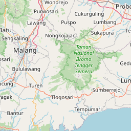
| Madiun to Malang | 168 km |
| Madiun to Pandaan | 162 km |
| Madiun to Tuban | 133 km |
| Madiun to Pasuruan | 181 km |
| Madiun to Trenggalek | 75 km |
Related Distances to Sampang
| Cities | Distance |
|---|---|
| Bangkalan to Sampang | 64 km |
| Balung to Sampang | 275 km |
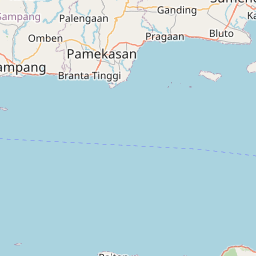
| Pamekasan to Sampang | 34 km |
| Kamal to Sampang | 67 km |
| Blitar to Sampang | 234 km |