Distance from Madrid to El Amria
Distance between Madrid and El Amria is 593 kilometers (368 miles).
Driving distance from Madrid to El Amria is 881 kilometers (547 miles).
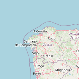
Distance Map Between Madrid and El Amria
Madrid, Spain ↔ El Amria, 'Ain Temouchent, Algeria = 368 miles = 593 km.


How far is it between Madrid and El Amria
Madrid is located in Spain with (40.4165,-3.7026) coordinates and El Amria is located in Algeria with (35.5244,-1.0158) coordinates. The calculated flying distance from Madrid to El Amria is equal to 368 miles which is equal to 593 km.
If you want to go by car, the driving distance between Madrid and El Amria is 880.6 km. If you ride your car with an average speed of 112 kilometers/hour (70 miles/h), travel time will be 07 hours 51 minutes. Please check the avg. speed travel time table on the right for various options.
Difference between fly and go by a car is 288 km.
| City/Place | Latitude and Longitude | GPS Coordinates |
|---|---|---|
| Madrid | 40.4165, -3.7026 | 40° 24´ 59.4000'' N 3° 42´ 9.2160'' W |
| El Amria | 35.5244, -1.0158 | 35° 31´ 27.8040'' N 1° 0´ 56.7720'' W |
Estimated Travel Time Between Madrid and El Amria
| Average Speed | Travel Time |
|---|---|
| 30 mph (48 km/h) | 18 hours 20 minutes |
| 40 mph (64 km/h) | 13 hours 45 minutes |
| 50 mph (80 km/h) | 11 hours 00 minutes |
| 60 mph (97 km/h) | 09 hours 04 minutes |
| 70 mph (112 km/h) | 07 hours 51 minutes |
| 75 mph (120 km/h) | 07 hours 20 minutes |
Related Distances from Madrid
| Cities | Distance |
|---|---|
| Madrid to Algiers | 1325 km |
| Madrid to Oran | 928 km |
| Madrid to Chemini | 1498 km |
| Madrid to Barika | 1583 km |
| Madrid to Bouira | 1416 km |
Related Distances to El Amria
| Cities | Distance |
|---|---|
| Madrid to El Amria | 881 km |
| Sevilla to El Amria | 742 km |
| Valencia 2 to El Amria | 784 km |