Distance from Madrid to El Attaf
Distance between Madrid and El Attaf is 661 kilometers (411 miles).
Distance Map Between Madrid and El Attaf
Madrid, Spain ↔ El Attaf, Ain Defla, Algeria = 411 miles = 661 km.


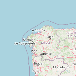


Leaflet | © OpenStreetMap
How far is it between Madrid and El Attaf
Madrid is located in Spain with (40.4165,-3.7026) coordinates and El Attaf is located in Algeria with (36.2239,1.6719) coordinates. The calculated flying distance from Madrid to El Attaf is equal to 411 miles which is equal to 661 km.
| City/Place | Latitude and Longitude | GPS Coordinates |
|---|---|---|
| Madrid | 40.4165, -3.7026 | 40° 24´ 59.4000'' N 3° 42´ 9.2160'' W |
| El Attaf | 36.2239, 1.6719 | 36° 13´ 26.1480'' N 1° 40´ 18.7320'' E |
Madrid, Spain
Related Distances from Madrid
| Cities | Distance |
|---|---|
| Madrid to Algiers | 1325 km |
| Madrid to Oran | 928 km |
| Madrid to Chemini | 1498 km |
| Madrid to Barika | 1583 km |
| Madrid to Bouira | 1416 km |
El Attaf, Ain Defla, Algeria
Related Distances to El Attaf
| Cities | Distance |
|---|---|
| Khemis Miliana to El Attaf | 53 km |
| El Abadia to El Attaf | 6 km |