Distance from Madrid to El Tarf
Distance between Madrid and El Tarf is 1119 kilometers (695 miles).
Driving distance from Madrid to El Tarf is 1899 kilometers (1180 miles).
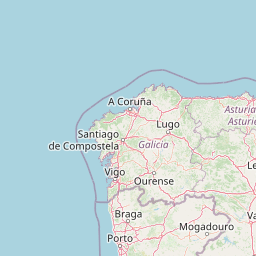
Distance Map Between Madrid and El Tarf
Madrid, Spain ↔ El Tarf, Algeria = 695 miles = 1119 km.


How far is it between Madrid and El Tarf
Madrid is located in Spain with (40.4165,-3.7026) coordinates and El Tarf is located in Algeria with (36.7672,8.3138) coordinates. The calculated flying distance from Madrid to El Tarf is equal to 695 miles which is equal to 1119 km.
If you want to go by car, the driving distance between Madrid and El Tarf is 1898.78 km. If you ride your car with an average speed of 112 kilometers/hour (70 miles/h), travel time will be 16 hours 57 minutes. Please check the avg. speed travel time table on the right for various options.
Difference between fly and go by a car is 780 km.
| City/Place | Latitude and Longitude | GPS Coordinates |
|---|---|---|
| Madrid | 40.4165, -3.7026 | 40° 24´ 59.4000'' N 3° 42´ 9.2160'' W |
| El Tarf | 36.7672, 8.3138 | 36° 46´ 1.9200'' N 8° 18´ 49.5720'' E |
Estimated Travel Time Between Madrid and El Tarf
| Average Speed | Travel Time |
|---|---|
| 30 mph (48 km/h) | 39 hours 33 minutes |
| 40 mph (64 km/h) | 29 hours 40 minutes |
| 50 mph (80 km/h) | 23 hours 44 minutes |
| 60 mph (97 km/h) | 19 hours 34 minutes |
| 70 mph (112 km/h) | 16 hours 57 minutes |
| 75 mph (120 km/h) | 15 hours 49 minutes |
Related Distances from Madrid
| Cities | Distance |
|---|---|
| Madrid to Abou El Hassan | 1171 km |
| Madrid to Adrar | 1956 km |
| Madrid to Aflou | 1244 km |
| Madrid to Ain Abid | 1736 km |
| Madrid to Ain Arnat | 1574 km |
| Madrid to Ain Benian | 1329 km |
| Madrid to Ain Bessem | 1432 km |
| Madrid to Ain Defla | 1197 km |
| Madrid to Ain Deheb | 1144 km |
| Madrid to Ain El Bell | 1372 km |
Related Distances to El Tarf
| Cities | Distance |
|---|---|
| Madrid to El Tarf | 1899 km |
| Barcelona to El Tarf | 2160 km |