Distance from Madurai to Teni
Distance between Madurai and Teni is 71 kilometers (44 miles).
Driving distance from Madurai to Teni is 77 kilometers (48 miles).
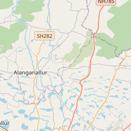
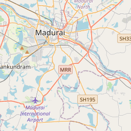
Distance Map Between Madurai and Teni
Madurai, Chennai, India ↔ Teni, Chennai, India = 44 miles = 71 km.


How far is it between Madurai and Teni
Madurai is located in India with (9.9174,78.1196) coordinates and Teni is located in India with (10.0153,77.482) coordinates. The calculated flying distance from Madurai to Teni is equal to 44 miles which is equal to 71 km.
If you want to go by car, the driving distance between Madurai and Teni is 77.41 km. If you ride your car with an average speed of 112 kilometers/hour (70 miles/h), travel time will be 00 hours 41 minutes. Please check the avg. speed travel time table on the right for various options.
Difference between fly and go by a car is 6 km.
| City/Place | Latitude and Longitude | GPS Coordinates |
|---|---|---|
| Madurai | 9.9174, 78.1196 | 9° 55´ 2.4600'' N 78° 7´ 10.6320'' E |
| Teni | 10.0153, 77.482 | 10° 0´ 55.1160'' N 77° 28´ 55.2000'' E |
Estimated Travel Time Between Madurai and Teni
| Average Speed | Travel Time |
|---|---|
| 30 mph (48 km/h) | 01 hours 36 minutes |
| 40 mph (64 km/h) | 01 hours 12 minutes |
| 50 mph (80 km/h) | 00 hours 58 minutes |
| 60 mph (97 km/h) | 00 hours 47 minutes |
| 70 mph (112 km/h) | 00 hours 41 minutes |
| 75 mph (120 km/h) | 00 hours 38 minutes |
Related Distances from Madurai
| Cities | Distance |
|---|---|
| Madurai to Melur | 30 km |
| Madurai to Usilampatti | 40 km |
| Madurai to Nilakottai | 48 km |
| Madurai to Manamadurai | 51 km |
| Madurai to Tirunelveli | 158 km |
Related Distances to Teni
| Cities | Distance |
|---|---|
| Hosur to Teni | 405 km |
| Salem to Teni | 242 km |
| Madurai to Teni | 77 km |
| Dindigul to Teni | 77 km |
| Periyakulam to Teni | 15 km |