Distance from Maganoy to Takeo
Distance between Maganoy and Takeo is 2207 kilometers (1371 miles).
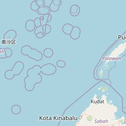
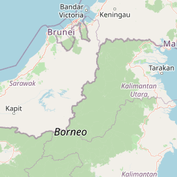
Distance Map Between Maganoy and Takeo
Maganoy, Cotabato, Philippines ↔ Takeo, Cambodia = 1371 miles = 2207 km.


Leaflet | © OpenStreetMap
How far is it between Maganoy and Takeo
Maganoy is located in Philippines with (6.8647,124.4417) coordinates and Takeo is located in Cambodia with (10.9908,104.785) coordinates. The calculated flying distance from Maganoy to Takeo is equal to 1371 miles which is equal to 2207 km.
| City/Place | Latitude and Longitude | GPS Coordinates |
|---|---|---|
| Maganoy | 6.8647, 124.4417 | 6° 51´ 52.9920'' N 124° 26´ 30.0120'' E |
| Takeo | 10.9908, 104.785 | 10° 59´ 26.9160'' N 104° 47´ 5.9280'' E |
Maganoy, Cotabato, Philippines
Related Distances from Maganoy
| Cities | Distance |
|---|---|
| Maganoy to Marawi City | 208 km |
| Maganoy to Wao | 144 km |
| Maganoy to Parang | 83 km |
| Maganoy to Pagalungan | 48 km |
| Maganoy to Maluso | 623 km |
Takeo, Cambodia
Related Distances to Takeo
| Cities | Distance |
|---|---|
| Phnom Penh to Takeo | 73 km |
| Kampot to Takeo | 86 km |
| Sihanoukville to Takeo | 185 km |
| Kampong Speu to Takeo | 78 km |
| Siem Reap to Takeo | 402 km |