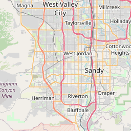
Distance from Magna to Layton
Distance between Magna and Layton is 41 kilometers (25 miles).
Driving distance from Magna to Layton is 57 kilometers (36 miles).
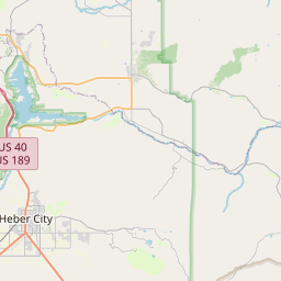
Distance Map Between Magna and Layton
Magna, Salt Lake City, United States ↔ Layton, Salt Lake City, United States = 25 miles = 41 km.


How far is it between Magna and Layton
Magna is located in United States with (40.7091,-112.1016) coordinates and Layton is located in United States with (41.0602,-111.9711) coordinates. The calculated flying distance from Magna to Layton is equal to 25 miles which is equal to 41 km.
If you want to go by car, the driving distance between Magna and Layton is 57.2 km. If you ride your car with an average speed of 112 kilometers/hour (70 miles/h), travel time will be 00 hours 30 minutes. Please check the avg. speed travel time table on the right for various options.
Difference between fly and go by a car is 16 km.
| City/Place | Latitude and Longitude | GPS Coordinates |
|---|---|---|
| Magna | 40.7091, -112.1016 | 40° 42´ 32.7960'' N 112° 6´ 5.7960'' W |
| Layton | 41.0602, -111.9711 | 41° 3´ 36.7920'' N 111° 58´ 15.7800'' W |
Estimated Travel Time Between Magna and Layton
| Average Speed | Travel Time |
|---|---|
| 30 mph (48 km/h) | 01 hours 11 minutes |
| 40 mph (64 km/h) | 00 hours 53 minutes |
| 50 mph (80 km/h) | 00 hours 42 minutes |
| 60 mph (97 km/h) | 00 hours 35 minutes |
| 70 mph (112 km/h) | 00 hours 30 minutes |
| 75 mph (120 km/h) | 00 hours 28 minutes |
Related Distances from Magna
| Cities | Distance |
|---|---|
| Magna to Logan | 150 km |
| Magna to Draper | 42 km |
| Magna to Lehi | 58 km |
| Magna to Layton | 57 km |
| Magna to Herriman | 27 km |
Related Distances to Layton
| Cities | Distance |
|---|---|
| Roy to Layton | 15 km |
| Ogden to Layton | 25 km |
| Lehi to Layton | 82 km |
| Provo to Layton | 107 km |
| Logan to Layton | 96 km |