Distance from Magog to Beloeil
Distance between Magog and Beloeil is 88 kilometers (55 miles).
Driving distance from Magog to Beloeil is 108 kilometers (67 miles).
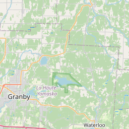
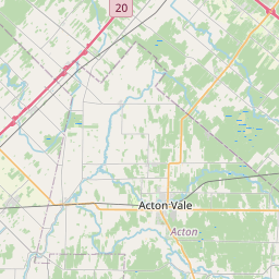
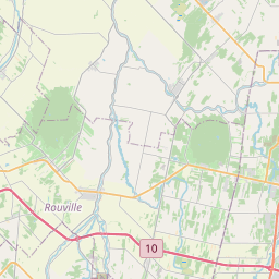
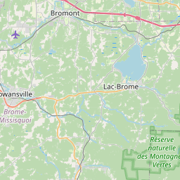
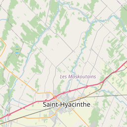
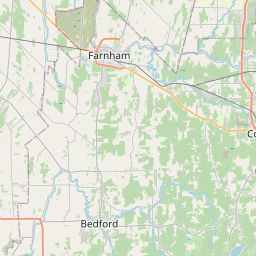
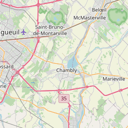
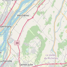
Distance Map Between Magog and Beloeil
Magog, Quebec, Canada ↔ Beloeil, Quebec, Canada = 55 miles = 88 km.


How far is it between Magog and Beloeil
Magog is located in Canada with (45.2668,-72.1491) coordinates and Beloeil is located in Canada with (45.5668,-73.1992) coordinates. The calculated flying distance from Magog to Beloeil is equal to 55 miles which is equal to 88 km.
If you want to go by car, the driving distance between Magog and Beloeil is 108.15 km. If you ride your car with an average speed of 112 kilometers/hour (70 miles/h), travel time will be 00 hours 57 minutes. Please check the avg. speed travel time table on the right for various options.
Difference between fly and go by a car is 20 km.
| City/Place | Latitude and Longitude | GPS Coordinates |
|---|---|---|
| Magog | 45.2668, -72.1491 | 45° 16´ 0.4080'' N 72° 8´ 56.7240'' W |
| Beloeil | 45.5668, -73.1992 | 45° 34´ 0.4080'' N 73° 11´ 56.9400'' W |
Estimated Travel Time Between Magog and Beloeil
| Average Speed | Travel Time |
|---|---|
| 30 mph (48 km/h) | 02 hours 15 minutes |
| 40 mph (64 km/h) | 01 hours 41 minutes |
| 50 mph (80 km/h) | 01 hours 21 minutes |
| 60 mph (97 km/h) | 01 hours 06 minutes |
| 70 mph (112 km/h) | 00 hours 57 minutes |
| 75 mph (120 km/h) | 00 hours 54 minutes |
Related Distances from Magog
| Cities | Distance |
|---|---|
| Magog to Laval | 144 km |
| Magog to Granby | 55 km |
| Magog to Brossard | 115 km |
| Magog to Drummondville | 99 km |
| Magog to Gatineau | 322 km |
Related Distances to Beloeil
| Cities | Distance |
|---|---|
| Montreal to Beloeil | 39 km |
| Brossard to Beloeil | 30 km |
| Laval to Beloeil | 52 km |
| Sherbrooke to Beloeil | 144 km |
| Sorel Tracy to Beloeil | 64 km |