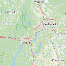
Distance from Magog to Laval
Distance between Magog and Laval is 125 kilometers (78 miles).
Driving distance from Magog to Laval is 144 kilometers (89 miles).
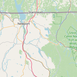
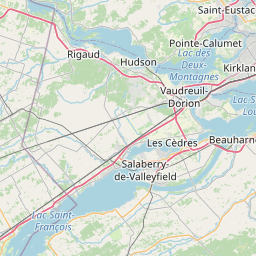
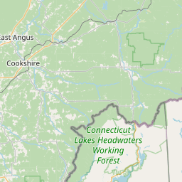
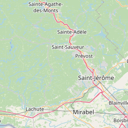
Distance Map Between Magog and Laval
Magog, Quebec, Canada ↔ Laval, Quebec, Canada = 78 miles = 125 km.

How far is it between Magog and Laval
Magog is located in Canada with (45.2668,-72.1491) coordinates and Laval is located in Canada with (45.57,-73.692) coordinates. The calculated flying distance from Magog to Laval is equal to 78 miles which is equal to 125 km.
If you want to go by car, the driving distance between Magog and Laval is 143.69 km. If you ride your car with an average speed of 112 kilometers/hour (70 miles/h), travel time will be 01 hours 16 minutes. Please check the avg. speed travel time table on the right for various options.
Difference between fly and go by a car is 19 km.
| City/Place | Latitude and Longitude | GPS Coordinates |
|---|---|---|
| Magog | 45.2668, -72.1491 | 45° 16´ 0.4080'' N 72° 8´ 56.7240'' W |
| Laval | 45.57, -73.692 | 45° 34´ 11.8200'' N 73° 41´ 31.2000'' W |
Estimated Travel Time Between Magog and Laval
| Average Speed | Travel Time |
|---|---|
| 30 mph (48 km/h) | 02 hours 59 minutes |
| 40 mph (64 km/h) | 02 hours 14 minutes |
| 50 mph (80 km/h) | 01 hours 47 minutes |
| 60 mph (97 km/h) | 01 hours 28 minutes |
| 70 mph (112 km/h) | 01 hours 16 minutes |
| 75 mph (120 km/h) | 01 hours 11 minutes |
Related Distances from Magog
| Cities | Distance |
|---|---|
| Magog to Laval | 144 km |
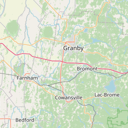
| Magog to Granby | 55 km |
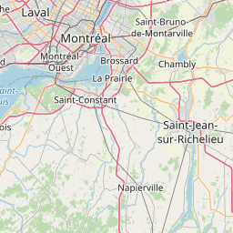
| Magog to Brossard | 115 km |
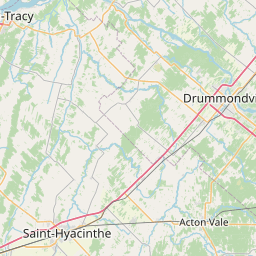
| Magog to Drummondville | 99 km |
| Magog to Gatineau | 322 km |
Related Distances to Laval
| Cities | Distance |
|---|---|
| Montreal to Laval | 13 km |
| Saint Jerome to Laval | 41 km |
| Saint Laurent to Laval | 14 km |
| Saint Hyacinthe to Laval | 65 km |
| Saint Eustache to Laval | 24 km |