Distance from Makamba to Luanda
Distance between Makamba and Luanda is 1903 kilometers (1183 miles).
Driving distance from Makamba to Luanda is 3103 kilometers (1928 miles).
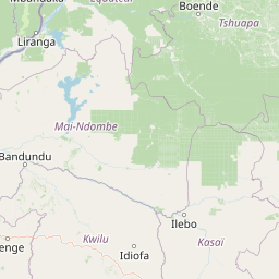
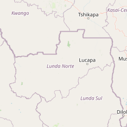
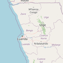
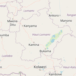
Distance Map Between Makamba and Luanda
Makamba, Burundi ↔ Luanda, Angola = 1183 miles = 1903 km.


How far is it between Makamba and Luanda
Makamba is located in Burundi with (-4.1348,29.804) coordinates and Luanda is located in Angola with (-8.8368,13.2343) coordinates. The calculated flying distance from Makamba to Luanda is equal to 1183 miles which is equal to 1903 km.
If you want to go by car, the driving distance between Makamba and Luanda is 3103.19 km. If you ride your car with an average speed of 112 kilometers/hour (70 miles/h), travel time will be 27 hours 42 minutes. Please check the avg. speed travel time table on the right for various options.
Difference between fly and go by a car is 1200 km.
| City/Place | Latitude and Longitude | GPS Coordinates |
|---|---|---|
| Makamba | -4.1348, 29.804 | 4° 8´ 5.2800'' S 29° 48´ 14.4000'' E |
| Luanda | -8.8368, 13.2343 | 8° 50´ 12.5520'' S 13° 14´ 3.5520'' E |
Estimated Travel Time Between Makamba and Luanda
| Average Speed | Travel Time |
|---|---|
| 30 mph (48 km/h) | 64 hours 38 minutes |
| 40 mph (64 km/h) | 48 hours 29 minutes |
| 50 mph (80 km/h) | 38 hours 47 minutes |
| 60 mph (97 km/h) | 31 hours 59 minutes |
| 70 mph (112 km/h) | 27 hours 42 minutes |
| 75 mph (120 km/h) | 25 hours 51 minutes |
Related Distances to Luanda
| Cities | Distance |
|---|---|
| Bujumbura to Luanda | 2954 km |
| Ruyigi to Luanda | 3118 km |
| Muyinga to Luanda | 3134 km |
| Ngozi to Luanda | 3077 km |
| Makamba to Luanda | 3103 km |