Distance from Malabanban Norte to Mamatid
Distance between Malabanban Norte and Mamatid is 44 kilometers (27 miles).
Distance Map Between Malabanban Norte and Mamatid
Malabanban Norte, Calamba, Philippines ↔ Mamatid, Calamba, Philippines = 27 miles = 44 km.


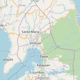

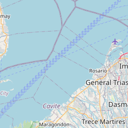

Leaflet | © OpenStreetMap
How far is it between Malabanban Norte and Mamatid
Malabanban Norte is located in Philippines with (13.9452,121.4307) coordinates and Mamatid is located in Philippines with (14.2349,121.159) coordinates. The calculated flying distance from Malabanban Norte to Mamatid is equal to 27 miles which is equal to 44 km.
| City/Place | Latitude and Longitude | GPS Coordinates |
|---|---|---|
| Malabanban Norte | 13.9452, 121.4307 | 13° 56´ 42.7560'' N 121° 25´ 50.3400'' E |
| Mamatid | 14.2349, 121.159 | 14° 14´ 5.6400'' N 121° 9´ 32.4720'' E |
Malabanban Norte, Calamba, Philippines
Related Distances from Malabanban Norte
| Cities | Distance |
|---|---|
| Malabanban Norte to Pagbilao | 33 km |
| Malabanban Norte to Taguig | 101 km |
| Malabanban Norte to Santa Cruz | 59 km |
| Malabanban Norte to Taytay | 108 km |
| Malabanban Norte to Tanauan | 48 km |
Mamatid, Calamba, Philippines
Related Distances to Mamatid
| Cities | Distance |
|---|---|
| Baras to Mamatid | 74 km |
| Los Banos to Mamatid | 19 km |
| Cavite City to Mamatid | 74 km |
| Lucena to Mamatid | 91 km |
| Lipa City to Mamatid | 40 km |