Distance from Malabanban Norte to Patuto
Distance between Malabanban Norte and Patuto is 54 kilometers (33 miles).
Driving distance from Malabanban Norte to Patuto is 77 kilometers (48 miles).
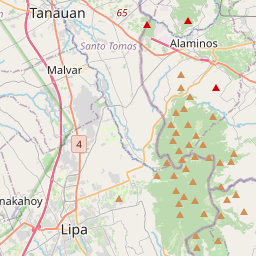
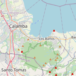
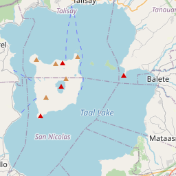
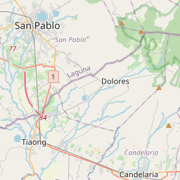
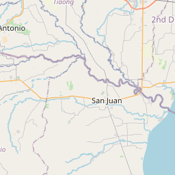
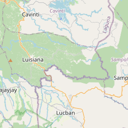
Distance Map Between Malabanban Norte and Patuto
Malabanban Norte, Calamba, Philippines ↔ Patuto, Calamba, Philippines = 33 miles = 54 km.

How far is it between Malabanban Norte and Patuto
Malabanban Norte is located in Philippines with (13.9452,121.4307) coordinates and Patuto is located in Philippines with (14.1167,120.9667) coordinates. The calculated flying distance from Malabanban Norte to Patuto is equal to 33 miles which is equal to 54 km.
If you want to go by car, the driving distance between Malabanban Norte and Patuto is 77.26 km. If you ride your car with an average speed of 112 kilometers/hour (70 miles/h), travel time will be 00 hours 41 minutes. Please check the avg. speed travel time table on the right for various options.
Difference between fly and go by a car is 23 km.
| City/Place | Latitude and Longitude | GPS Coordinates |
|---|---|---|
| Malabanban Norte | 13.9452, 121.4307 | 13° 56´ 42.7560'' N 121° 25´ 50.3400'' E |
| Patuto | 14.1167, 120.9667 | 14° 7´ 0.0120'' N 120° 58´ 0.0120'' E |
Estimated Travel Time Between Malabanban Norte and Patuto
| Average Speed | Travel Time |
|---|---|
| 30 mph (48 km/h) | 01 hours 36 minutes |
| 40 mph (64 km/h) | 01 hours 12 minutes |
| 50 mph (80 km/h) | 00 hours 57 minutes |
| 60 mph (97 km/h) | 00 hours 47 minutes |
| 70 mph (112 km/h) | 00 hours 41 minutes |
| 75 mph (120 km/h) | 00 hours 38 minutes |
Related Distances from Malabanban Norte
| Cities | Distance |
|---|---|
| Malabanban Norte to Pagbilao | 33 km |
| Malabanban Norte to Taguig | 101 km |
| Malabanban Norte to Santa Cruz | 59 km |
| Malabanban Norte to Taytay | 108 km |
| Malabanban Norte to Tanauan | 48 km |
Related Distances to Patuto
| Cities | Distance |
|---|---|
| Batangas to Patuto | 72 km |
| Cardona to Patuto | 81 km |
| Naic to Patuto | 40 km |
| Mendez Nunez to Patuto | 11 km |
| Cavite City to Patuto | 51 km |