Distance from Malden to Gatineau
Distance between Malden and Gatineau is 503 kilometers (312 miles).
Driving distance from Malden to Gatineau is 687 kilometers (427 miles).
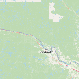
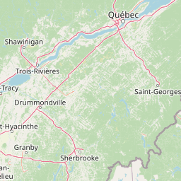
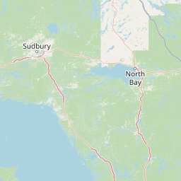
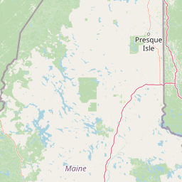
Distance Map Between Malden and Gatineau
Malden, Boston, United States ↔ Gatineau, Quebec, Canada = 312 miles = 503 km.


How far is it between Malden and Gatineau
Malden is located in United States with (42.4251,-71.0662) coordinates and Gatineau is located in Canada with (45.4772,-75.7016) coordinates. The calculated flying distance from Malden to Gatineau is equal to 312 miles which is equal to 503 km.
If you want to go by car, the driving distance between Malden and Gatineau is 687.35 km. If you ride your car with an average speed of 112 kilometers/hour (70 miles/h), travel time will be 06 hours 08 minutes. Please check the avg. speed travel time table on the right for various options.
Difference between fly and go by a car is 184 km.
| City/Place | Latitude and Longitude | GPS Coordinates |
|---|---|---|
| Malden | 42.4251, -71.0662 | 42° 25´ 30.3600'' N 71° 3´ 58.1760'' W |
| Gatineau | 45.4772, -75.7016 | 45° 28´ 38.0280'' N 75° 42´ 5.9040'' W |
Estimated Travel Time Between Malden and Gatineau
| Average Speed | Travel Time |
|---|---|
| 30 mph (48 km/h) | 14 hours 19 minutes |
| 40 mph (64 km/h) | 10 hours 44 minutes |
| 50 mph (80 km/h) | 08 hours 35 minutes |
| 60 mph (97 km/h) | 07 hours 05 minutes |
| 70 mph (112 km/h) | 06 hours 08 minutes |
| 75 mph (120 km/h) | 05 hours 43 minutes |
Related Distances from Malden
| Cities | Distance |
|---|---|
| Malden to London 2 | 964 km |
| Malden to Hamilton | 837 km |
| Malden to Toronto | 904 km |
| Malden to Etobicoke | 884 km |
| Malden to Montreal | 491 km |
Related Distances to Gatineau
| Cities | Distance |
|---|---|
| New York City to Gatineau | 718 km |
| Buffalo to Gatineau | 553 km |
| Boston to Gatineau | 695 km |
| Windsor 2 to Gatineau | 628 km |
| Niagara Falls 2 to Gatineau | 570 km |