Distance from Manado to Palu
Distance between Manado and Palu is 613 kilometers (381 miles).
Driving distance from Manado to Palu is 948 kilometers (589 miles).
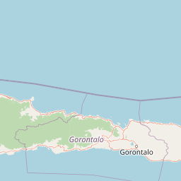
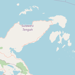
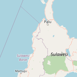
Distance Map Between Manado and Palu
Manado, Indonesia ↔ Palu, Indonesia = 381 miles = 613 km.


How far is it between Manado and Palu
Manado is located in Indonesia with (1.4822,124.8489) coordinates and Palu is located in Indonesia with (-0.8917,119.8707) coordinates. The calculated flying distance from Manado to Palu is equal to 381 miles which is equal to 613 km.
If you want to go by car, the driving distance between Manado and Palu is 948.42 km. If you ride your car with an average speed of 112 kilometers/hour (70 miles/h), travel time will be 08 hours 28 minutes. Please check the avg. speed travel time table on the right for various options.
Difference between fly and go by a car is 335 km.
| City/Place | Latitude and Longitude | GPS Coordinates |
|---|---|---|
| Manado | 1.4822, 124.8489 | 1° 28´ 55.8480'' N 124° 50´ 56.1120'' E |
| Palu | -0.8917, 119.8707 | 0° 53´ 30.1200'' S 119° 52´ 14.5200'' E |
Estimated Travel Time Between Manado and Palu
| Average Speed | Travel Time |
|---|---|
| 30 mph (48 km/h) | 19 hours 45 minutes |
| 40 mph (64 km/h) | 14 hours 49 minutes |
| 50 mph (80 km/h) | 11 hours 51 minutes |
| 60 mph (97 km/h) | 09 hours 46 minutes |
| 70 mph (112 km/h) | 08 hours 28 minutes |
| 75 mph (120 km/h) | 07 hours 54 minutes |
Related Distances from Manado
| Cities | Distance |
|---|---|
| Manado to Makassar | 1709 km |
| Manado to Palu | 948 km |
| Manado to Surabaya | 2507 km |
| Manado to Medan | 5267 km |
| Manado to Gorontalo | 400 km |
Related Distances to Palu
| Cities | Distance |
|---|---|
| Jakarta to Palu | 2426 km |
| Denpasar to Palu | 1823 km |
| Manado to Palu | 948 km |
| Bandung to Palu | 2441 km |
| Gorontalo to Palu | 607 km |