Distance from Managua to Santo Tomas
Distance between Managua and Santo Tomas is 1262 kilometers (784 miles).
Distance Map Between Managua and Santo Tomas
Managua, Nicaragua ↔ Santo Tomas, Barranquilla, Colombia = 784 miles = 1262 km.


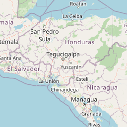
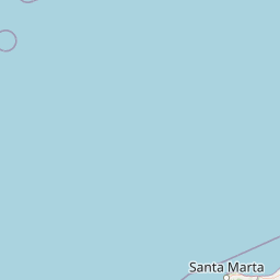

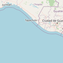
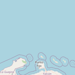


Leaflet | © OpenStreetMap
How far is it between Managua and Santo Tomás
Managua is located in Nicaragua with (12.1328,-86.2504) coordinates and Santo Tomas is located in Colombia with (10.7577,-74.7545) coordinates. The calculated flying distance from Managua to Santo Tomas is equal to 784 miles which is equal to 1262 km.
| City/Place | Latitude and Longitude | GPS Coordinates |
|---|---|---|
| Managua | 12.1328, -86.2504 | 12° 7´ 58.1520'' N 86° 15´ 1.4400'' W |
| Santo Tomas | 10.7577, -74.7545 | 10° 45´ 27.8280'' N 74° 45´ 16.2360'' W |
Managua, Nicaragua
Related Distances from Managua
| Cities | Distance |
|---|---|
| Managua to Rivas | 104 km |
| Managua to Matagalpa | 130 km |
| Managua to Masaya | 29 km |
| Managua to Puerto Cabezas | 525 km |
| Managua to Somoto | 218 km |
Santo Tomas, Barranquilla, Colombia
Related Distances to Santo Tomas
| Cities | Distance |
|---|---|
| Palmar De Varela to Santo Tomas 2 | 2 km |
| Campo De La Cruz to Santo Tomas 2 | 48 km |
| Santa Lucia 4 to Santo Tomas 2 | 69 km |
| Puerto Colombia to Santo Tomas 2 | 49 km |
| Malambo to Santo Tomas 2 | 12 km |