Distance from Manaus to Belem
Distance between Manaus and Belem is 1293 kilometers (803 miles).
Driving distance from Manaus to Belem is 2559 kilometers (1590 miles).
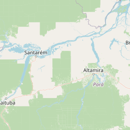
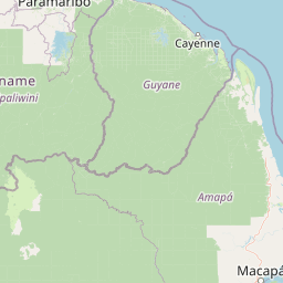
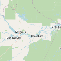
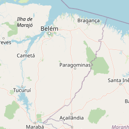
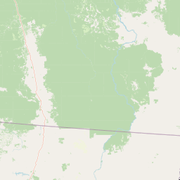
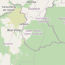
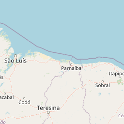
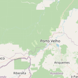
Distance Map Between Manaus and Belem
Manaus, Brazil ↔ Belem, Brazil = 803 miles = 1293 km.


How far is it between Manaus and Belém
Manaus is located in Brazil with (-3.1019,-60.025) coordinates and Belem is located in Brazil with (-1.4558,-48.5044) coordinates. The calculated flying distance from Manaus to Belem is equal to 803 miles which is equal to 1293 km.
If you want to go by car, the driving distance between Manaus and Belem is 2558.91 km. If you ride your car with an average speed of 112 kilometers/hour (70 miles/h), travel time will be 22 hours 50 minutes. Please check the avg. speed travel time table on the right for various options.
Difference between fly and go by a car is 1266 km.
| City/Place | Latitude and Longitude | GPS Coordinates |
|---|---|---|
| Manaus | -3.1019, -60.025 | 3° 6´ 6.9840'' S 60° 1´ 30.0000'' W |
| Belem | -1.4558, -48.5044 | 1° 27´ 20.9880'' S 48° 30´ 15.9840'' W |
Estimated Travel Time Between Manaus and Belém
| Average Speed | Travel Time |
|---|---|
| 30 mph (48 km/h) | 53 hours 18 minutes |
| 40 mph (64 km/h) | 39 hours 58 minutes |
| 50 mph (80 km/h) | 31 hours 59 minutes |
| 60 mph (97 km/h) | 26 hours 22 minutes |
| 70 mph (112 km/h) | 22 hours 50 minutes |
| 75 mph (120 km/h) | 21 hours 19 minutes |
Related Distances from Manaus
| Cities | Distance |
|---|---|
| Manaus to Sao Paulo | 3877 km |
| Manaus to Belem | 2559 km |
| Manaus to Rio De Janeiro | 4274 km |
| Manaus to Brasilia | 3412 km |
| Manaus to Porto Alegre | 3945 km |
Related Distances to Belem
| Cities | Distance |
|---|---|
| Manaus to Belem | 2559 km |
| Sao Paulo to Belem | 2871 km |
| Rio De Janeiro to Belem | 3041 km |
| Brasilia to Belem | 1922 km |
| Porto Alegre to Belem | 3980 km |