Distance from Manay to Mati
Distance between Manay and Mati is 46 kilometers (29 miles).
Driving distance from Manay to Mati is 69 kilometers (43 miles).
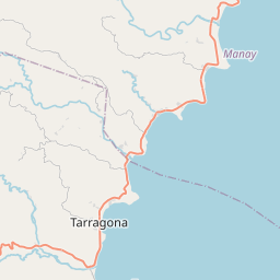
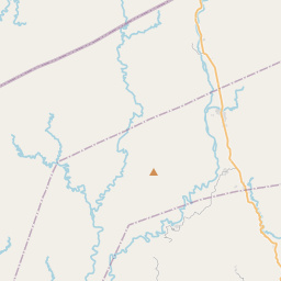
Distance Map Between Manay and Mati
Manay, Davao, Philippines ↔ Mati, Davao, Philippines = 29 miles = 46 km.


How far is it between Manay and Mati
Manay is located in Philippines with (7.215,126.5397) coordinates and Mati is located in Philippines with (6.9551,126.2166) coordinates. The calculated flying distance from Manay to Mati is equal to 29 miles which is equal to 46 km.
If you want to go by car, the driving distance between Manay and Mati is 68.76 km. If you ride your car with an average speed of 112 kilometers/hour (70 miles/h), travel time will be 00 hours 36 minutes. Please check the avg. speed travel time table on the right for various options.
Difference between fly and go by a car is 23 km.
| City/Place | Latitude and Longitude | GPS Coordinates |
|---|---|---|
| Manay | 7.215, 126.5397 | 7° 12´ 54.0000'' N 126° 32´ 22.9920'' E |
| Mati | 6.9551, 126.2166 | 6° 57´ 18.2880'' N 126° 12´ 59.5800'' E |
Estimated Travel Time Between Manay and Mati
| Average Speed | Travel Time |
|---|---|
| 30 mph (48 km/h) | 01 hours 25 minutes |
| 40 mph (64 km/h) | 01 hours 04 minutes |
| 50 mph (80 km/h) | 00 hours 51 minutes |
| 60 mph (97 km/h) | 00 hours 42 minutes |
| 70 mph (112 km/h) | 00 hours 36 minutes |
| 75 mph (120 km/h) | 00 hours 34 minutes |
Related Distances from Manay
| Cities | Distance |
|---|---|
| Manay to Mati | 69 km |
| Manay to Tagum | 179 km |
| Manay to Panabo | 193 km |
| Manay to Nabunturan | 165 km |
| Manay to Monkayo | 199 km |
Related Distances to Mati
| Cities | Distance |
|---|---|
| Davao to Mati | 155 km |
| Lupon to Mati | 37 km |
| Manay to Mati | 69 km |
| Digos to Mati | 214 km |
| Compostela to Mati | 97 km |