Distance from Manbij to Beirut
Distance between Manbij and Beirut is 369 kilometers (229 miles).
Driving distance from Manbij to Beirut is 457 kilometers (284 miles).
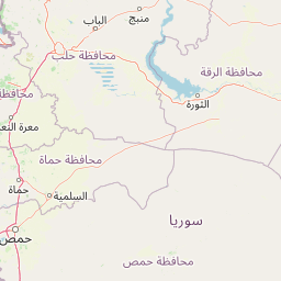
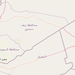
Distance Map Between Manbij and Beirut
Manbij, Aleppo, Syria ↔ Beirut, Lebanon = 229 miles = 369 km.


How far is it between Manbij and Beirut
Manbij is located in Syria with (36.5282,37.955) coordinates and Beirut is located in Lebanon with (33.8889,35.4944) coordinates. The calculated flying distance from Manbij to Beirut is equal to 229 miles which is equal to 369 km.
If you want to go by car, the driving distance between Manbij and Beirut is 457.3 km. If you ride your car with an average speed of 112 kilometers/hour (70 miles/h), travel time will be 04 hours 04 minutes. Please check the avg. speed travel time table on the right for various options.
Difference between fly and go by a car is 88 km.
| City/Place | Latitude and Longitude | GPS Coordinates |
|---|---|---|
| Manbij | 36.5282, 37.955 | 36° 31´ 41.3400'' N 37° 57´ 17.8200'' E |
| Beirut | 33.8889, 35.4944 | 33° 53´ 20.1840'' N 35° 29´ 39.9120'' E |
Estimated Travel Time Between Manbij and Beirut
| Average Speed | Travel Time |
|---|---|
| 30 mph (48 km/h) | 09 hours 31 minutes |
| 40 mph (64 km/h) | 07 hours 08 minutes |
| 50 mph (80 km/h) | 05 hours 42 minutes |
| 60 mph (97 km/h) | 04 hours 42 minutes |
| 70 mph (112 km/h) | 04 hours 04 minutes |
| 75 mph (120 km/h) | 03 hours 48 minutes |
Related Distances to Beirut
| Cities | Distance |
|---|---|
| Damascus to Beirut | 137 km |
| Aleppo to Beirut | 371 km |
| Latakia to Beirut | 243 km |
| Homs to Beirut | 183 km |
| Douma to Beirut | 127 km |