Distance from Mandalay to Daye
Distance between Mandalay and Daye is 2086 kilometers (1296 miles).
Distance Map Between Mandalay and Daye
Mandalay, Myanmar ↔ Daye, Wuhan, China = 1296 miles = 2086 km.


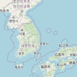


Leaflet | © OpenStreetMap
How far is it between Mandalay and Daye
Mandalay is located in Myanmar with (21.9747,96.0836) coordinates and Daye is located in China with (30.0833,114.95) coordinates. The calculated flying distance from Mandalay to Daye is equal to 1296 miles which is equal to 2086 km.
| City/Place | Latitude and Longitude | GPS Coordinates |
|---|---|---|
| Mandalay | 21.9747, 96.0836 | 21° 58´ 29.0280'' N 96° 5´ 0.9240'' E |
| Daye | 30.0833, 114.95 | 30° 4´ 59.9880'' N 114° 57´ 0.0000'' E |
Mandalay, Myanmar
Related Distances from Mandalay
| Cities | Distance |
|---|---|
| Mandalay to Kunming | 1191 km |
| Mandalay to Wuhan | 2816 km |
| Mandalay to Xi An | 2583 km |
| Mandalay to Shenzhen | 2695 km |
| Mandalay to Dali | 878 km |
Daye, Wuhan, China
Related Distances to Daye
| Cities | Distance |
|---|---|
| Caohe to Daye | 92 km |
| Buhe to Daye | 307 km |
| Danjiangkou to Daye | 492 km |
| Caidian to Daye | 156 km |
| Anlu to Daye | 239 km |