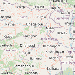
Distance from Mandalay to Gohana
Distance between Mandalay and Gohana is 2098 kilometers (1304 miles).
Distance Map Between Mandalay and Gohana
Mandalay, Myanmar ↔ Gohana, , India = 1304 miles = 2098 km.


Leaflet | © OpenStreetMap
How far is it between Mandalay and Gohāna
Mandalay is located in Myanmar with (21.9747,96.0836) coordinates and Gohana is located in India with (29.1365,76.6954) coordinates. The calculated flying distance from Mandalay to Gohana is equal to 1304 miles which is equal to 2098 km.
| City/Place | Latitude and Longitude | GPS Coordinates |
|---|---|---|
| Mandalay | 21.9747, 96.0836 | 21° 58´ 29.0280'' N 96° 5´ 0.9240'' E |
| Gohana | 29.1365, 76.6954 | 29° 8´ 11.3280'' N 76° 41´ 43.2600'' E |
Mandalay, Myanmar
Related Distances from Mandalay
| Cities | Distance |
|---|---|
| Mandalay to Bangalore | 3902 km |
| Mandalay to Kolkata | 2046 km |
| Mandalay to Chennai | 3647 km |
| Mandalay to Lucknow | 2408 km |
| Mandalay to New Delhi | 2960 km |
Gohana, , India
Related Distances to Gohana
| Cities | Distance |
|---|---|
| Bahadurgarh to Gohana | 72 km |
| Bhiwani to Gohana | 71 km |
| Faridabad to Gohana | 126 km |
| Charkhi Dadri to Gohana | 89 km |
| Fatehabad to Gohana | 144 km |