Distance from Mandalay to Shaping
Distance between Mandalay and Shaping is 1736 kilometers (1079 miles).
Distance Map Between Mandalay and Shaping
Mandalay, Myanmar ↔ Shaping, Guangzhou, China = 1079 miles = 1736 km.
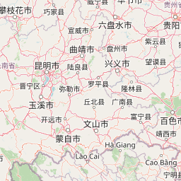


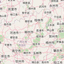


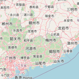


Leaflet | © OpenStreetMap
How far is it between Mandalay and Shaping
Mandalay is located in Myanmar with (21.9747,96.0836) coordinates and Shaping is located in China with (22.7702,112.9578) coordinates. The calculated flying distance from Mandalay to Shaping is equal to 1079 miles which is equal to 1736 km.
| City/Place | Latitude and Longitude | GPS Coordinates |
|---|---|---|
| Mandalay | 21.9747, 96.0836 | 21° 58´ 29.0280'' N 96° 5´ 0.9240'' E |
| Shaping | 22.7702, 112.9578 | 22° 46´ 12.6840'' N 112° 57´ 27.9360'' E |
Mandalay, Myanmar
Related Distances from Mandalay
| Cities | Distance |
|---|---|
| Mandalay to Kunming | 1191 km |
| Mandalay to Wuhan | 2816 km |
| Mandalay to Xi An | 2583 km |
| Mandalay to Shenzhen | 2695 km |
| Mandalay to Dali | 878 km |
Shaping, Guangzhou, China
Related Distances to Shaping
| Cities | Distance |
|---|---|
| Zhongshan to Shaping | 355 km |
| Pingshan to Shaping | 215 km |
| Dasha to Shaping | 88 km |
| Foshan to Shaping | 40 km |
| Jiangmen to Shaping | 34 km |