Distance from Manouba to Tozeur
Distance between Manouba and Tozeur is 367 kilometers (228 miles).
Driving distance from Manouba to Tozeur is 429 kilometers (267 miles).
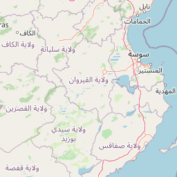
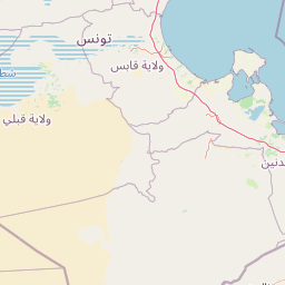
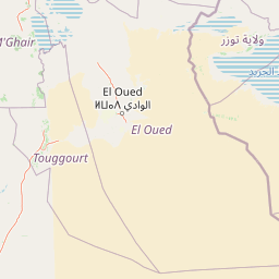
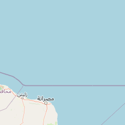
Distance Map Between Manouba and Tozeur
Manouba, Tunisia ↔ Tozeur, Tunisia = 228 miles = 367 km.


How far is it between Manouba and Tozeur
Manouba is located in Tunisia with (36.808,10.0972) coordinates and Tozeur is located in Tunisia with (33.9197,8.1335) coordinates. The calculated flying distance from Manouba to Tozeur is equal to 228 miles which is equal to 367 km.
If you want to go by car, the driving distance between Manouba and Tozeur is 429.25 km. If you ride your car with an average speed of 112 kilometers/hour (70 miles/h), travel time will be 03 hours 49 minutes. Please check the avg. speed travel time table on the right for various options.
Difference between fly and go by a car is 62 km.
| City/Place | Latitude and Longitude | GPS Coordinates |
|---|---|---|
| Manouba | 36.808, 10.0972 | 36° 48´ 28.9080'' N 10° 5´ 49.9560'' E |
| Tozeur | 33.9197, 8.1335 | 33° 55´ 10.8480'' N 8° 8´ 0.6720'' E |
Estimated Travel Time Between Manouba and Tozeur
| Average Speed | Travel Time |
|---|---|
| 30 mph (48 km/h) | 08 hours 56 minutes |
| 40 mph (64 km/h) | 06 hours 42 minutes |
| 50 mph (80 km/h) | 05 hours 21 minutes |
| 60 mph (97 km/h) | 04 hours 25 minutes |
| 70 mph (112 km/h) | 03 hours 49 minutes |
| 75 mph (120 km/h) | 03 hours 34 minutes |
Related Distances from Manouba
| Cities | Distance |
|---|---|
| Manouba to Tunis | 10 km |
| Manouba to Nabeul | 76 km |
| Manouba to Kebili | 518 km |
| Manouba to Zaghouan | 64 km |
| Manouba to Sousse | 155 km |
Related Distances to Tozeur
| Cities | Distance |
|---|---|
| Gabes to Tozeur | 210 km |
| Tunis to Tozeur | 456 km |
| Sfax to Tozeur | 294 km |
| Kairouan to Tozeur | 294 km |
| Douz to Tozeur | 124 km |