Distance from Mantes-la-Jolie to Brussels
Distance between Mantes-la-Jolie and Brussels is 280 kilometers (174 miles).
Driving distance from Mantes-la-Jolie to Brussels is 361 kilometers (224 miles).
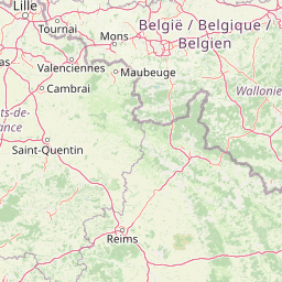
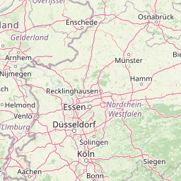
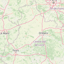
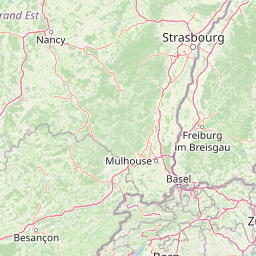
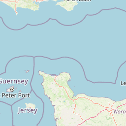
Distance Map Between Mantes-la-Jolie and Brussels
Mantes-la-Jolie, Paris, France ↔ Brussels, Belgium = 174 miles = 280 km.


How far is it between Mantes-la-Jolie and Brussels
Mantes-la-Jolie is located in France with (48.9833,1.7167) coordinates and Brussels is located in Belgium with (50.8505,4.3488) coordinates. The calculated flying distance from Mantes-la-Jolie to Brussels is equal to 174 miles which is equal to 280 km.
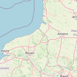
If you want to go by car, the driving distance between Mantes-la-Jolie and Brussels is 361.27 km. If you ride your car with an average speed of 112 kilometers/hour (70 miles/h), travel time will be 03 hours 13 minutes. Please check the avg. speed travel time table on the right for various options.
Difference between fly and go by a car is 81 km.
| City/Place | Latitude and Longitude | GPS Coordinates |
|---|---|---|
| Mantes-la-Jolie | 48.9833, 1.7167 | 48° 58´ 59.9880'' N 1° 43´ 0.0120'' E |
| Brussels | 50.8505, 4.3488 | 50° 51´ 1.6200'' N 4° 20´ 55.6080'' E |
Estimated Travel Time Between Mantes-la-Jolie and Brussels
| Average Speed | Travel Time |
|---|---|
| 30 mph (48 km/h) | 07 hours 31 minutes |
| 40 mph (64 km/h) | 05 hours 38 minutes |
| 50 mph (80 km/h) | 04 hours 30 minutes |
| 60 mph (97 km/h) | 03 hours 43 minutes |
| 70 mph (112 km/h) | 03 hours 13 minutes |
| 75 mph (120 km/h) | 03 hours 00 minutes |
Related Distances from Mantes-la-Jolie
| Cities | Distance |
|---|---|
| Mantes La Jolie to Brussels | 361 km |
Related Distances to Brussels
| Cities | Distance |
|---|---|
| Paris to Brussels | 320 km |
| Lille to Brussels | 117 km |
| Calais to Brussels | 196 km |
| Rennes to Brussels | 659 km |
| Dunkerque to Brussels | 156 km |