Distance from Manthani to Naspur
Distance between Manthani and Naspur is 30 kilometers (19 miles).
Driving distance from Manthani to Naspur is 41 kilometers (25 miles).
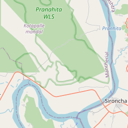
Distance Map Between Manthani and Naspur
Manthani, Hyderabad, India ↔ Naspur, Hyderabad, India = 19 miles = 30 km.


How far is it between Manthani and Nāspur
Manthani is located in India with (18.6509,79.665) coordinates and Naspur is located in India with (18.8458,79.4617) coordinates. The calculated flying distance from Manthani to Naspur is equal to 19 miles which is equal to 30 km.
If you want to go by car, the driving distance between Manthani and Naspur is 40.96 km. If you ride your car with an average speed of 112 kilometers/hour (70 miles/h), travel time will be 00 hours 21 minutes. Please check the avg. speed travel time table on the right for various options.
Difference between fly and go by a car is 11 km.
| City/Place | Latitude and Longitude | GPS Coordinates |
|---|---|---|
| Manthani | 18.6509, 79.665 | 18° 39´ 3.1320'' N 79° 39´ 54.0360'' E |
| Naspur | 18.8458, 79.4617 | 18° 50´ 44.7720'' N 79° 27´ 41.9400'' E |
Estimated Travel Time Between Manthani and Nāspur
| Average Speed | Travel Time |
|---|---|
| 30 mph (48 km/h) | 00 hours 51 minutes |
| 40 mph (64 km/h) | 00 hours 38 minutes |
| 50 mph (80 km/h) | 00 hours 30 minutes |
| 60 mph (97 km/h) | 00 hours 25 minutes |
| 70 mph (112 km/h) | 00 hours 21 minutes |
| 75 mph (120 km/h) | 00 hours 20 minutes |
Related Distances from Manthani
| Cities | Distance |
|---|---|
| Manthani to Peddapalli | 34 km |
| Manthani to Warangal | 106 km |
| Manthani to Siddipet | 132 km |
| Manthani to Ramgundam | 42 km |
| Manthani to Nizamabad | 193 km |
Related Distances to Naspur
| Cities | Distance |
|---|---|
| Karimnagar to Naspur | 82 km |
| Bellampalli to Naspur | 29 km |
| Manthani to Naspur | 41 km |
| Nalgonda to Naspur | 294 km |
| Bhadrachalam to Naspur | 271 km |