Distance from Mao to Khartoum
Distance between Mao and Khartoum is 1857 kilometers (1154 miles).
Driving distance from Mao to Khartoum is 2567 kilometers (1595 miles).
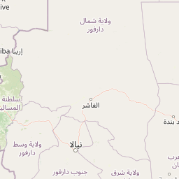
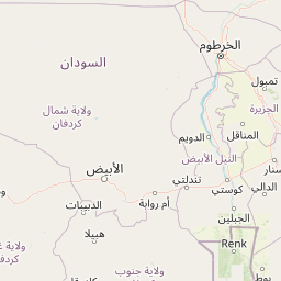
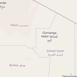
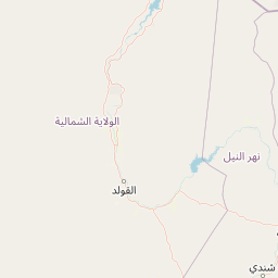
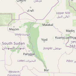
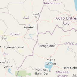
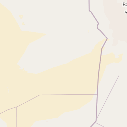
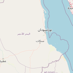
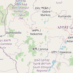
Distance Map Between Mao and Khartoum
Mao, Chad ↔ Khartoum, Sudan = 1154 miles = 1857 km.


How far is it between Mao and Khartoum
Mao is located in Chad with (14.1212,15.3103) coordinates and Khartoum is located in Sudan with (15.5518,32.5324) coordinates. The calculated flying distance from Mao to Khartoum is equal to 1154 miles which is equal to 1857 km.
If you want to go by car, the driving distance between Mao and Khartoum is 2567.46 km. If you ride your car with an average speed of 112 kilometers/hour (70 miles/h), travel time will be 22 hours 55 minutes. Please check the avg. speed travel time table on the right for various options.
Difference between fly and go by a car is 710 km.
| City/Place | Latitude and Longitude | GPS Coordinates |
|---|---|---|
| Mao | 14.1212, 15.3103 | 14° 7´ 16.1760'' N 15° 18´ 37.0800'' E |
| Khartoum | 15.5518, 32.5324 | 15° 33´ 6.3720'' N 32° 31´ 56.6760'' E |
Estimated Travel Time Between Mao and Khartoum
| Average Speed | Travel Time |
|---|---|
| 30 mph (48 km/h) | 53 hours 29 minutes |
| 40 mph (64 km/h) | 40 hours 06 minutes |
| 50 mph (80 km/h) | 32 hours 05 minutes |
| 60 mph (97 km/h) | 26 hours 28 minutes |
| 70 mph (112 km/h) | 22 hours 55 minutes |
| 75 mph (120 km/h) | 21 hours 23 minutes |
Related Distances to Khartoum
| Cities | Distance |
|---|---|
| N Djamena to Khartoum | 2416 km |
| Abeche to Khartoum | 1666 km |
| Doba to Khartoum | 2600 km |
| Ati to Khartoum | 1975 km |
| Kelo to Khartoum | 2786 km |