Distance from Mao to Omdurman
Distance between Mao and Omdurman is 1852 kilometers (1151 miles).
Driving distance from Mao to Omdurman is 2559 kilometers (1590 miles).
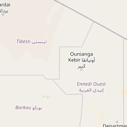
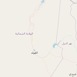
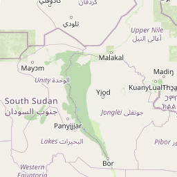
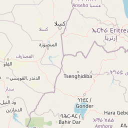
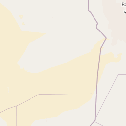
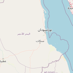
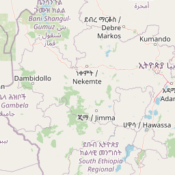
Distance Map Between Mao and Omdurman
Mao, Chad ↔ Omdurman, Khartoum, Sudan = 1151 miles = 1852 km.
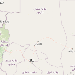

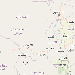


How far is it between Mao and Omdurman
Mao is located in Chad with (14.1212,15.3103) coordinates and Omdurman is located in Sudan with (15.6445,32.4777) coordinates. The calculated flying distance from Mao to Omdurman is equal to 1151 miles which is equal to 1852 km.
If you want to go by car, the driving distance between Mao and Omdurman is 2558.76 km. If you ride your car with an average speed of 112 kilometers/hour (70 miles/h), travel time will be 22 hours 50 minutes. Please check the avg. speed travel time table on the right for various options.
Difference between fly and go by a car is 707 km.
| City/Place | Latitude and Longitude | GPS Coordinates |
|---|---|---|
| Mao | 14.1212, 15.3103 | 14° 7´ 16.1760'' N 15° 18´ 37.0800'' E |
| Omdurman | 15.6445, 32.4777 | 15° 38´ 40.3080'' N 32° 28´ 39.8280'' E |
Estimated Travel Time Between Mao and Omdurman
| Average Speed | Travel Time |
|---|---|
| 30 mph (48 km/h) | 53 hours 18 minutes |
| 40 mph (64 km/h) | 39 hours 58 minutes |
| 50 mph (80 km/h) | 31 hours 59 minutes |
| 60 mph (97 km/h) | 26 hours 22 minutes |
| 70 mph (112 km/h) | 22 hours 50 minutes |
| 75 mph (120 km/h) | 21 hours 19 minutes |
Related Distances to Omdurman
| Cities | Distance |
|---|---|
| N Djamena to Omdurman | 2409 km |
| Moussoro to Omdurman | 2292 km |
| Oum Hadjer to Omdurman | 1804 km |
| Am Timan to Omdurman | 2035 km |
| Kelo to Omdurman | 2777 km |