Distance from Mao to Ouagadougou
Distance between Mao and Ouagadougou is 1833 kilometers (1139 miles).
Driving distance from Mao to Ouagadougou is 2550 kilometers (1584 miles).
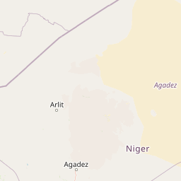
Distance Map Between Mao and Ouagadougou
Mao, Chad ↔ Ouagadougou, Burkina Faso = 1139 miles = 1833 km.


How far is it between Mao and Ouagadougou
Mao is located in Chad with (14.1212,15.3103) coordinates and Ouagadougou is located in Burkina Faso with (12.3657,-1.5339) coordinates. The calculated flying distance from Mao to Ouagadougou is equal to 1139 miles which is equal to 1833 km.
If you want to go by car, the driving distance between Mao and Ouagadougou is 2549.94 km. If you ride your car with an average speed of 112 kilometers/hour (70 miles/h), travel time will be 22 hours 46 minutes. Please check the avg. speed travel time table on the right for various options.
Difference between fly and go by a car is 717 km.
| City/Place | Latitude and Longitude | GPS Coordinates |
|---|---|---|
| Mao | 14.1212, 15.3103 | 14° 7´ 16.1760'' N 15° 18´ 37.0800'' E |
| Ouagadougou | 12.3657, -1.5339 | 12° 21´ 56.3760'' N 1° 32´ 1.9680'' W |
Estimated Travel Time Between Mao and Ouagadougou
| Average Speed | Travel Time |
|---|---|
| 30 mph (48 km/h) | 53 hours 07 minutes |
| 40 mph (64 km/h) | 39 hours 50 minutes |
| 50 mph (80 km/h) | 31 hours 52 minutes |
| 60 mph (97 km/h) | 26 hours 17 minutes |
| 70 mph (112 km/h) | 22 hours 46 minutes |
| 75 mph (120 km/h) | 21 hours 14 minutes |
Related Distances to Ouagadougou
| Cities | Distance |
|---|---|
| Ati to Ouagadougou | 2728 km |
| N Djamena to Ouagadougou | 2232 km |
| Dourbali to Ouagadougou | 2323 km |
| Moussoro to Ouagadougou | 2523 km |
| Bitkine to Ouagadougou | 2681 km |
| Kelo to Ouagadougou | 2588 km |
| Massaguet to Ouagadougou | 2322 km |
| Massakory to Ouagadougou | 2387 km |
| Pala to Ouagadougou | 2658 km |
| Benoy to Ouagadougou | 2670 km |