Distance from Marion to Coralville
Distance between Marion and Coralville is 40 kilometers (25 miles).
Driving distance from Marion to Coralville is 49 kilometers (30 miles).
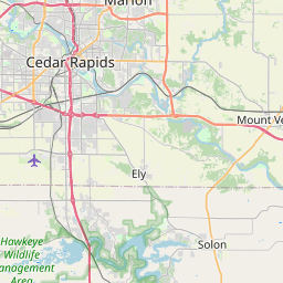
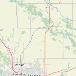
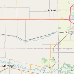
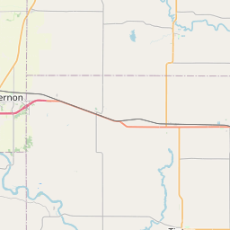
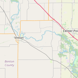
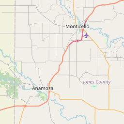
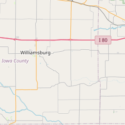
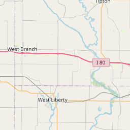
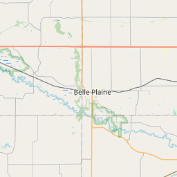
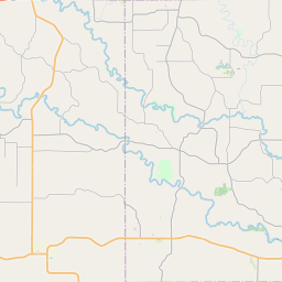
Distance Map Between Marion and Coralville
Marion, Des Moines, United States ↔ Coralville, Des Moines, United States = 25 miles = 40 km.
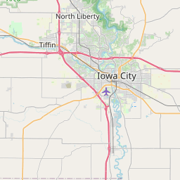

How far is it between Marion and Coralville
Marion is located in United States with (42.0342,-91.5977) coordinates and Coralville is located in United States with (41.6764,-91.5805) coordinates. The calculated flying distance from Marion to Coralville is equal to 25 miles which is equal to 40 km.
If you want to go by car, the driving distance between Marion and Coralville is 49 km. If you ride your car with an average speed of 112 kilometers/hour (70 miles/h), travel time will be 00 hours 26 minutes. Please check the avg. speed travel time table on the right for various options.
Difference between fly and go by a car is 9 km.
| City/Place | Latitude and Longitude | GPS Coordinates |
|---|---|---|
| Marion | 42.0342, -91.5977 | 42° 2´ 3.0120'' N 91° 35´ 51.6480'' W |
| Coralville | 41.6764, -91.5805 | 41° 40´ 35.0400'' N 91° 34´ 49.6200'' W |
Estimated Travel Time Between Marion and Coralville
| Average Speed | Travel Time |
|---|---|
| 30 mph (48 km/h) | 01 hours 01 minutes |
| 40 mph (64 km/h) | 00 hours 45 minutes |
| 50 mph (80 km/h) | 00 hours 36 minutes |
| 60 mph (97 km/h) | 00 hours 30 minutes |
| 70 mph (112 km/h) | 00 hours 26 minutes |
| 75 mph (120 km/h) | 00 hours 24 minutes |
Related Distances from Marion
| Cities | Distance |
|---|---|
| Marion 2 to Iowa City | 58 km |
| Marion 2 to Cedar Rapids | 6 km |
| Marion 2 to Coralville | 49 km |
| Marion 2 to Dubuque | 106 km |
| Marion 2 to Clinton 3 | 135 km |
Related Distances to Coralville
| Cities | Distance |
|---|---|
| Iowa City to Coralville | 6 km |
| Davenport to Coralville | 98 km |
| Muscatine to Coralville | 72 km |
| West Des Moines to Coralville | 187 km |
| Dubuque to Coralville | 139 km |