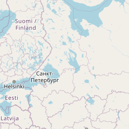
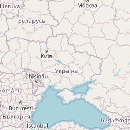
Distance from Mariupol to Kotlas
Distance between Mariupol and Kotlas is 1679 kilometers (1043 miles).
Distance Map Between Mariupol and Kotlas
Mariupol, Donetsk, Ukraine ↔ Kotlas, Arkhangel'sk, Russia = 1043 miles = 1679 km.


Leaflet | © OpenStreetMap
How far is it between Mariupol and Kotlas
Mariupol is located in Ukraine with (47.0951,37.5413) coordinates and Kotlas is located in Russia with (61.2575,46.6496) coordinates. The calculated flying distance from Mariupol to Kotlas is equal to 1043 miles which is equal to 1679 km.
| City/Place | Latitude and Longitude | GPS Coordinates |
|---|---|---|
| Mariupol | 47.0951, 37.5413 | 47° 5´ 42.5040'' N 37° 32´ 28.7160'' E |
| Kotlas | 61.2575, 46.6496 | 61° 15´ 26.8200'' N 46° 38´ 58.6680'' E |
Mariupol, Donetsk, Ukraine
Related Distances from Mariupol
| Cities | Distance |
|---|---|
| Mariupol to Glazov | 2101 km |
| Mariupol to Moscow | 1247 km |
| Mariupol to Orenburg | 1841 km |
| Mariupol to Vladimir | 1386 km |
| Mariupol to Samara | 1459 km |
Kotlas, Arkhangel'sk, Russia
Related Distances to Kotlas
| Cities | Distance |
|---|---|
| Donetsk to Kotlas | 2013 km |
| Odessa to Kotlas | 2324 km |
| Kiev to Kotlas | 1854 km |
| Kharkiv to Kotlas | 1741 km |
| Kherson to Kotlas | 2394 km |