Distance from Markham to Toronto
Distance between Markham and Toronto is 22 kilometers (14 miles).
Driving distance from Markham to Toronto is 37 kilometers (23 miles).
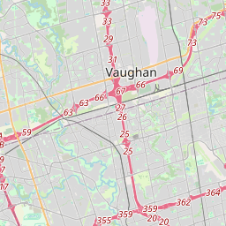
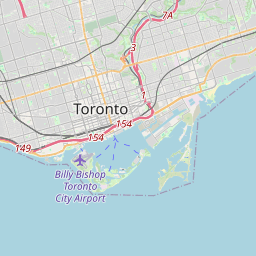
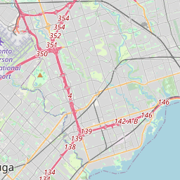
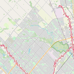
Distance Map Between Markham and Toronto
Markham, Ontario, Canada ↔ Toronto, Ontario, Canada = 14 miles = 22 km.


How far is it between Markham and Toronto
Markham is located in Canada with (43.8668,-79.2663) coordinates and Toronto is located in Canada with (43.7001,-79.4163) coordinates. The calculated flying distance from Markham to Toronto is equal to 14 miles which is equal to 22 km.
If you want to go by car, the driving distance between Markham and Toronto is 36.78 km. If you ride your car with an average speed of 112 kilometers/hour (70 miles/h), travel time will be 00 hours 19 minutes. Please check the avg. speed travel time table on the right for various options.
Difference between fly and go by a car is 15 km.
| City/Place | Latitude and Longitude | GPS Coordinates |
|---|---|---|
| Markham | 43.8668, -79.2663 | 43° 52´ 0.5520'' N 79° 15´ 58.6800'' W |
| Toronto | 43.7001, -79.4163 | 43° 42´ 0.3960'' N 79° 24´ 58.6800'' W |
Estimated Travel Time Between Markham and Toronto
| Average Speed | Travel Time |
|---|---|
| 30 mph (48 km/h) | 00 hours 45 minutes |
| 40 mph (64 km/h) | 00 hours 34 minutes |
| 50 mph (80 km/h) | 00 hours 27 minutes |
| 60 mph (97 km/h) | 00 hours 22 minutes |
| 70 mph (112 km/h) | 00 hours 19 minutes |
| 75 mph (120 km/h) | 00 hours 18 minutes |
Related Distances from Markham
| Cities | Distance |
|---|---|
| Markham to Brampton | 55 km |
| Markham to Hamilton | 108 km |
| Markham to Ajax | 29 km |
| Markham to London 2 | 209 km |
| Markham to Toronto | 37 km |
Related Distances to Toronto
| Cities | Distance |
|---|---|
| Montreal to Toronto | 542 km |
| Vancouver to Toronto | 4376 km |
| Ottawa to Toronto | 448 km |
| Calgary to Toronto | 3413 km |
| Winnipeg to Toronto | 2230 km |