Distance from Marquette to Quebec
Distance between Marquette and Quebec is 1233 kilometers (766 miles).
Driving distance from Marquette to Quebec is 1505 kilometers (935 miles).
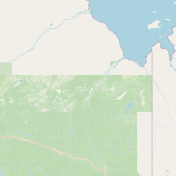
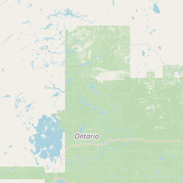
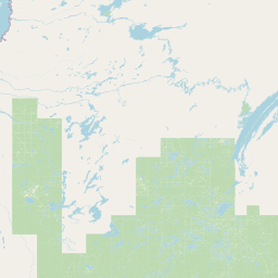
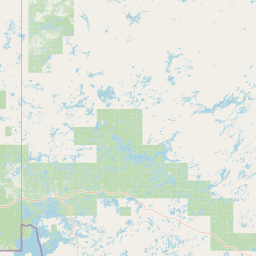
Distance Map Between Marquette and Quebec
Marquette, Lansing, United States ↔ Quebec, Canada = 766 miles = 1233 km.


How far is it between Marquette and Québec
Marquette is located in United States with (46.5435,-87.3954) coordinates and Quebec is located in Canada with (46.8123,-71.2145) coordinates. The calculated flying distance from Marquette to Quebec is equal to 766 miles which is equal to 1233 km.
If you want to go by car, the driving distance between Marquette and Quebec is 1504.77 km. If you ride your car with an average speed of 112 kilometers/hour (70 miles/h), travel time will be 13 hours 26 minutes. Please check the avg. speed travel time table on the right for various options.
Difference between fly and go by a car is 272 km.
| City/Place | Latitude and Longitude | GPS Coordinates |
|---|---|---|
| Marquette | 46.5435, -87.3954 | 46° 32´ 36.7440'' N 87° 23´ 43.5120'' W |
| Quebec | 46.8123, -71.2145 | 46° 48´ 44.2080'' N 71° 12´ 52.3440'' W |
Estimated Travel Time Between Marquette and Québec
| Average Speed | Travel Time |
|---|---|
| 30 mph (48 km/h) | 31 hours 20 minutes |
| 40 mph (64 km/h) | 23 hours 30 minutes |
| 50 mph (80 km/h) | 18 hours 48 minutes |
| 60 mph (97 km/h) | 15 hours 30 minutes |
| 70 mph (112 km/h) | 13 hours 26 minutes |
| 75 mph (120 km/h) | 12 hours 32 minutes |
Related Distances from Marquette
| Cities | Distance |
|---|---|
| Marquette to Winnipeg | 1018 km |
| Marquette to Toronto | 1024 km |
| Marquette to Montreal | 1257 km |
| Marquette to Ottawa | 1058 km |
| Marquette to Windsor | 737 km |
Related Distances to Quebec
| Cities | Distance |
|---|---|
| New York City to Quebec | 835 km |
| Boston to Quebec | 639 km |
| Niagara Falls 2 to Quebec | 918 km |
| Washington D C to Quebec | 1181 km |
| New Brunswick to Quebec | 871 km |