Distance from Matao to Santo Andre
Distance between Matao and Santo Andre is 296 kilometers (184 miles).
Driving distance from Matao to Santo Andre is 325 kilometers (202 miles).
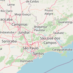
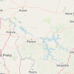
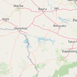
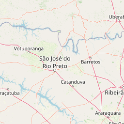
Distance Map Between Matao and Santo Andre
Matao, Sao Paulo, Brazil ↔ Santo Andre, Sao Paulo, Brazil = 184 miles = 296 km.


How far is it between Matão and Santo André
Matao is located in Brazil with (-21.6033,-48.3658) coordinates and Santo Andre is located in Brazil with (-23.6639,-46.5383) coordinates. The calculated flying distance from Matao to Santo Andre is equal to 184 miles which is equal to 296 km.
If you want to go by car, the driving distance between Matao and Santo Andre is 325.39 km. If you ride your car with an average speed of 112 kilometers/hour (70 miles/h), travel time will be 02 hours 54 minutes. Please check the avg. speed travel time table on the right for various options.
Difference between fly and go by a car is 29 km.
| City/Place | Latitude and Longitude | GPS Coordinates |
|---|---|---|
| Matao | -21.6033, -48.3658 | 21° 36´ 11.9880'' S 48° 21´ 56.9880'' W |
| Santo Andre | -23.6639, -46.5383 | 23° 39´ 50.0040'' S 46° 32´ 17.9880'' W |
Estimated Travel Time Between Matão and Santo André
| Average Speed | Travel Time |
|---|---|
| 30 mph (48 km/h) | 06 hours 46 minutes |
| 40 mph (64 km/h) | 05 hours 05 minutes |
| 50 mph (80 km/h) | 04 hours 04 minutes |
| 60 mph (97 km/h) | 03 hours 21 minutes |
| 70 mph (112 km/h) | 02 hours 54 minutes |
| 75 mph (120 km/h) | 02 hours 42 minutes |
Related Distances from Matao
| Cities | Distance |
|---|---|
| Matao to Espirito Santo Do Pinhal | 236 km |
| Matao to Mogi Das Cruzes | 360 km |
| Matao to Mogi Gaucu | 215 km |
| Matao to Mogi Mirim | 207 km |
| Matao to Monte Alto | 60 km |
| Matao to Monte Aprazivel | 180 km |
| Matao to Monte Azul Paulista | 103 km |
| Matao to Morro Agudo | 132 km |
| Matao to Nova Granada | 175 km |
| Matao to Olimpia | 144 km |
Related Distances to Santo Andre
| Cities | Distance |
|---|---|
| Aracatuba to Santo Andre | 537 km |
| Franco Da Rocha to Santo Andre | 61 km |
| Barueri to Santo Andre | 47 km |
| Santa Barbara D Oeste to Santo Andre | 158 km |
| Rio Claro to Santo Andre | 197 km |
| Rio Das Pedras to Santo Andre | 186 km |
| Itapevi to Santo Andre | 57 km |
| Matao to Santo Andre | 325 km |
| Mairipora to Santo Andre | 49 km |
| Santa Cruz Das Palmeiras to Santo Andre | 265 km |