Distance from Mataram to Palu
Distance between Mataram and Palu is 951 kilometers (591 miles).
Driving distance from Mataram to Palu is 1662 kilometers (1033 miles).
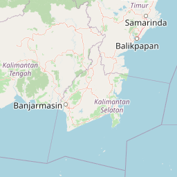
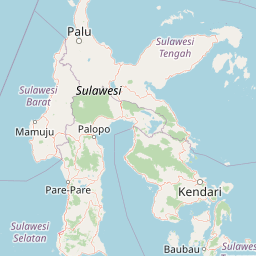
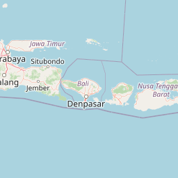
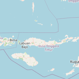
Distance Map Between Mataram and Palu
Mataram, Indonesia ↔ Palu, Indonesia = 591 miles = 951 km.

How far is it between Mataram and Palu
Mataram is located in Indonesia with (-8.5833,116.1167) coordinates and Palu is located in Indonesia with (-0.8917,119.8707) coordinates. The calculated flying distance from Mataram to Palu is equal to 591 miles which is equal to 951 km.
If you want to go by car, the driving distance between Mataram and Palu is 1661.74 km. If you ride your car with an average speed of 112 kilometers/hour (70 miles/h), travel time will be 14 hours 50 minutes. Please check the avg. speed travel time table on the right for various options.
Difference between fly and go by a car is 711 km.
| City/Place | Latitude and Longitude | GPS Coordinates |
|---|---|---|
| Mataram | -8.5833, 116.1167 | 8° 34´ 59.9880'' S 116° 7´ 0.0120'' E |
| Palu | -0.8917, 119.8707 | 0° 53´ 30.1200'' S 119° 52´ 14.5200'' E |
Estimated Travel Time Between Mataram and Palu
| Average Speed | Travel Time |
|---|---|
| 30 mph (48 km/h) | 34 hours 37 minutes |
| 40 mph (64 km/h) | 25 hours 57 minutes |
| 50 mph (80 km/h) | 20 hours 46 minutes |
| 60 mph (97 km/h) | 17 hours 07 minutes |
| 70 mph (112 km/h) | 14 hours 50 minutes |
| 75 mph (120 km/h) | 13 hours 50 minutes |
Related Distances from Mataram
| Cities | Distance |
|---|---|
| Mataram to Surabaya | 552 km |
| Mataram to Medan | 3293 km |
| Mataram to Yogyakarta | 816 km |
| Mataram to Banda Aceh | 3786 km |
| Mataram to Jakarta | 1306 km |
Related Distances to Palu
| Cities | Distance |
|---|---|
| Jakarta to Palu | 2426 km |
| Denpasar to Palu | 1823 km |
| Manado to Palu | 948 km |
| Bandung to Palu | 2441 km |
| Gorontalo to Palu | 607 km |