Distance from Mau to Rura
Distance between Mau and Rura is 370 kilometers (230 miles).
Driving distance from Mau to Rura is 458 kilometers (284 miles).
Distance Map Between Mau and Rura
Mau, Lucknow, India ↔ Rura, Lucknow, India = 230 miles = 370 km.


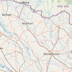


Leaflet | © OpenStreetMap
How far is it between Mau and Rura
Mau is located in India with (25.9417,83.5611) coordinates and Rura is located in India with (26.487,79.9024) coordinates. The calculated flying distance from Mau to Rura is equal to 230 miles which is equal to 370 km.
If you want to go by car, the driving distance between Mau and Rura is 457.64 km. If you ride your car with an average speed of 112 kilometers/hour (70 miles/h), travel time will be 04 hours 05 minutes. Please check the avg. speed travel time table on the right for various options.
Difference between fly and go by a car is 88 km.
| City/Place | Latitude and Longitude | GPS Coordinates |
|---|---|---|
| Mau | 25.9417, 83.5611 | 25° 56´ 30.0120'' N 83° 33´ 39.9960'' E |
| Rura | 26.487, 79.9024 | 26° 29´ 13.2000'' N 79° 54´ 8.7480'' E |
Estimated Travel Time Between Mau and Rura
| Average Speed | Travel Time |
|---|---|
| 30 mph (48 km/h) | 09 hours 32 minutes |
| 40 mph (64 km/h) | 07 hours 09 minutes |
| 50 mph (80 km/h) | 05 hours 43 minutes |
| 60 mph (97 km/h) | 04 hours 43 minutes |
| 70 mph (112 km/h) | 04 hours 05 minutes |
| 75 mph (120 km/h) | 03 hours 48 minutes |
Mau, Lucknow, India
Related Distances from Mau
| Cities | Distance |
|---|---|
| Mau to Mubarakpur | 38 km |
| Mau to Muhammadabad 2 | 21 km |
| Mau to Sikandarpur | 71 km |
| Mau to Saidpur 2 | 93 km |
| Mau to Tanda 2 | 129 km |
Rura, Lucknow, India
Related Distances to Rura
| Cities | Distance |
|---|---|
| Kanpur to Rura | 68 km |
| Auraiya to Rura | 60 km |
| Orai to Rura | 85 km |
| Kannauj to Rura | 93 km |
| Etawah to Rura | 125 km |