Distance from Mawlamyine to Gudur
Distance between Mawlamyine and Gudur is 1923 kilometers (1195 miles).
Distance Map Between Mawlamyine and Gudur
Mawlamyine, Myanmar ↔ Gudur, , India = 1195 miles = 1923 km.


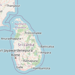
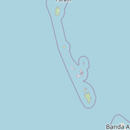


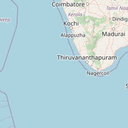


Leaflet | © OpenStreetMap
How far is it between Mawlamyine and Gūdūr
Mawlamyine is located in Myanmar with (16.4905,97.6283) coordinates and Gudur is located in India with (14.149,79.8514) coordinates. The calculated flying distance from Mawlamyine to Gudur is equal to 1195 miles which is equal to 1923 km.
| City/Place | Latitude and Longitude | GPS Coordinates |
|---|---|---|
| Mawlamyine | 16.4905, 97.6283 | 16° 29´ 25.8360'' N 97° 37´ 41.7000'' E |
| Gudur | 14.149, 79.8514 | 14° 8´ 56.5080'' N 79° 51´ 5.0400'' E |
Mawlamyine, Myanmar
Related Distances from Mawlamyine
| Cities | Distance |
|---|---|
| Mawlamyine to Chennai | 4409 km |
| Mawlamyine to Hyderabad | 4143 km |
| Mawlamyine to Puducherry | 4566 km |
| Mawlamyine to Vellore | 4481 km |
| Mawlamyine to Krishnagiri | 4602 km |
Gudur, , India
Related Distances to Gudur
| Cities | Distance |
|---|---|
| Nay Pyi Taw to Gudur | 3800 km |
| Mandalay to Gudur | 3549 km |
| Yangon to Gudur | 4155 km |