Distance from McAllen to Aldine
Distance between McAllen and Aldine is 500 kilometers (311 miles).
Distance Map Between McAllen and Aldine
McAllen, Austin, United States ↔ Aldine, Austin, United States = 311 miles = 500 km.


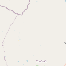


Leaflet | © OpenStreetMap
How far is it between McAllen and Aldine
McAllen is located in United States with (26.2034,-98.23) coordinates and Aldine is located in United States with (29.9325,-95.3802) coordinates. The calculated flying distance from McAllen to Aldine is equal to 311 miles which is equal to 500 km.
| City/Place | Latitude and Longitude | GPS Coordinates |
|---|---|---|
| McAllen | 26.2034, -98.23 | 26° 12´ 12.2760'' N 98° 13´ 48.0360'' W |
| Aldine | 29.9325, -95.3802 | 29° 55´ 56.8200'' N 95° 22´ 48.7560'' W |
McAllen, Austin, United States
Related Distances from McAllen
| Cities | Distance |
|---|---|
| Mcallen to Corpus Christi | 247 km |
| Mcallen to Donna | 20 km |
| Mcallen to Houston | 562 km |
| Mcallen to Laredo | 268 km |
| Mcallen to Dallas | 814 km |
Aldine, Austin, United States
Related Distances to Aldine
| Cities | Distance |
|---|---|
| Spring to Aldine | 18 km |
| Houston to Aldine | 23 km |
| Humble to Aldine | 17 km |
| Sugar Land to Aldine | 58 km |
| Dallas to Aldine | 369 km |