Distance from McKeesport to Hazleton
Distance between McKeesport and Hazleton is 335 kilometers (208 miles).
Driving distance from McKeesport to Hazleton is 403 kilometers (250 miles).
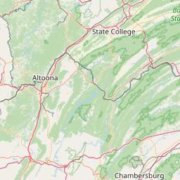
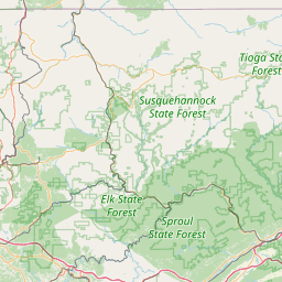
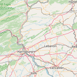
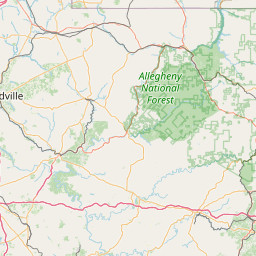
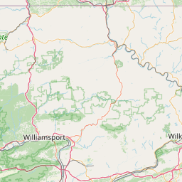
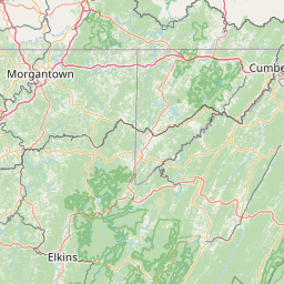
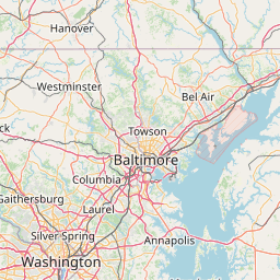
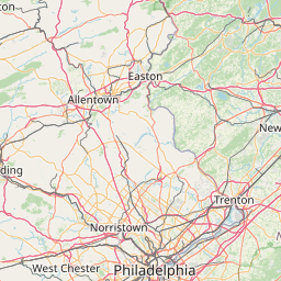
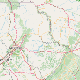
Distance Map Between McKeesport and Hazleton
McKeesport, Harrisburg, United States ↔ Hazleton, Harrisburg, United States = 208 miles = 335 km.


How far is it between McKeesport and Hazleton
McKeesport is located in United States with (40.3479,-79.8642) coordinates and Hazleton is located in United States with (40.9584,-75.9747) coordinates. The calculated flying distance from McKeesport to Hazleton is equal to 208 miles which is equal to 335 km.
If you want to go by car, the driving distance between McKeesport and Hazleton is 402.88 km. If you ride your car with an average speed of 112 kilometers/hour (70 miles/h), travel time will be 03 hours 35 minutes. Please check the avg. speed travel time table on the right for various options.
Difference between fly and go by a car is 68 km.
| City/Place | Latitude and Longitude | GPS Coordinates |
|---|---|---|
| McKeesport | 40.3479, -79.8642 | 40° 20´ 52.2600'' N 79° 51´ 51.1920'' W |
| Hazleton | 40.9584, -75.9747 | 40° 57´ 30.3120'' N 75° 58´ 28.7400'' W |
Estimated Travel Time Between McKeesport and Hazleton
| Average Speed | Travel Time |
|---|---|
| 30 mph (48 km/h) | 08 hours 23 minutes |
| 40 mph (64 km/h) | 06 hours 17 minutes |
| 50 mph (80 km/h) | 05 hours 02 minutes |
| 60 mph (97 km/h) | 04 hours 09 minutes |
| 70 mph (112 km/h) | 03 hours 35 minutes |
| 75 mph (120 km/h) | 03 hours 21 minutes |
Related Distances from McKeesport
| Cities | Distance |
|---|---|
| Mckeesport to Baldwin 2 | 13 km |
| Mckeesport to Philadelphia | 469 km |
| Mckeesport to Bethel Park | 18 km |
| Mckeesport to Johnstown | 101 km |
| Mckeesport to Lancaster 2 | 362 km |
Related Distances to Hazleton
| Cities | Distance |
|---|---|
| Wilkes Barre to Hazleton | 47 km |
| Scranton to Hazleton | 75 km |
| Mountain Top to Hazleton | 119 km |
| Reading 2 to Hazleton | 87 km |
| Lancaster 2 to Hazleton | 135 km |