Distance from Meaux to Munich
Distance between Meaux and Munich is 646 kilometers (402 miles).
Driving distance from Meaux to Munich is 805 kilometers (500 miles).
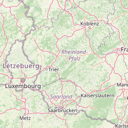
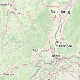
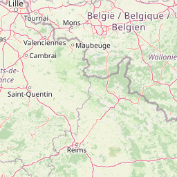
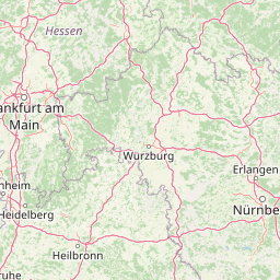
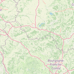
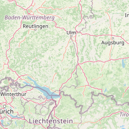
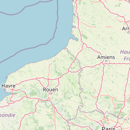
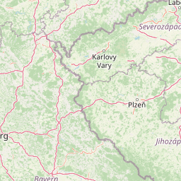
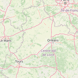
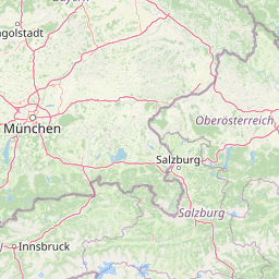
Distance Map Between Meaux and Munich
Meaux, Paris, France ↔ Munich, Germany = 402 miles = 646 km.


How far is it between Meaux and Munich
Meaux is located in France with (48.9601,2.8789) coordinates and Munich is located in Germany with (48.1374,11.5755) coordinates. The calculated flying distance from Meaux to Munich is equal to 402 miles which is equal to 646 km.
If you want to go by car, the driving distance between Meaux and Munich is 804.73 km. If you ride your car with an average speed of 112 kilometers/hour (70 miles/h), travel time will be 07 hours 11 minutes. Please check the avg. speed travel time table on the right for various options.
Difference between fly and go by a car is 159 km.
| City/Place | Latitude and Longitude | GPS Coordinates |
|---|---|---|
| Meaux | 48.9601, 2.8789 | 48° 57´ 36.5040'' N 2° 52´ 43.8600'' E |
| Munich | 48.1374, 11.5755 | 48° 8´ 14.7480'' N 11° 34´ 31.7640'' E |
Estimated Travel Time Between Meaux and Munich
| Average Speed | Travel Time |
|---|---|
| 30 mph (48 km/h) | 16 hours 45 minutes |
| 40 mph (64 km/h) | 12 hours 34 minutes |
| 50 mph (80 km/h) | 10 hours 03 minutes |
| 60 mph (97 km/h) | 08 hours 17 minutes |
| 70 mph (112 km/h) | 07 hours 11 minutes |
| 75 mph (120 km/h) | 06 hours 42 minutes |
Related Distances from Meaux
| Cities | Distance |
|---|---|
| Meaux to Munich | 805 km |
| Meaux to Hamburg | 897 km |
| Meaux to Berlin | 1038 km |
Related Distances to Munich
| Cities | Distance |
|---|---|
| Paris to Munich | 836 km |
| Strasbourg to Munich | 371 km |
| Nice to Munich | 802 km |
| Lyon to Munich | 732 km |
| Calais to Munich | 967 km |