Distance from Mehar to Indore
Distance between Mehar and Indore is 947 kilometers (589 miles).
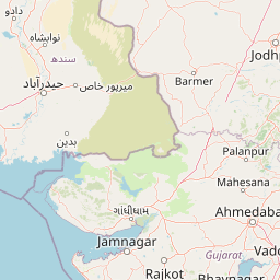
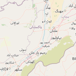
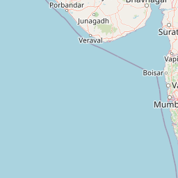
Distance Map Between Mehar and Indore
Mehar, Karachi, Pakistan ↔ Indore, Bhopal, India = 589 miles = 947 km.


Leaflet | © OpenStreetMap
How far is it between Mehar and Indore
Mehar is located in Pakistan with (27.1807,67.8229) coordinates and Indore is located in India with (22.7179,75.8333) coordinates. The calculated flying distance from Mehar to Indore is equal to 589 miles which is equal to 947 km.
| City/Place | Latitude and Longitude | GPS Coordinates |
|---|---|---|
| Mehar | 27.1807, 67.8229 | 27° 10´ 50.4120'' N 67° 49´ 22.3680'' E |
| Indore | 22.7179, 75.8333 | 22° 43´ 4.5120'' N 75° 49´ 59.8800'' E |
Mehar, Karachi, Pakistan
Related Distances from Mehar
| Cities | Distance |
|---|---|
| Mehar to Hyderabad | 6323 km |
| Mehar to Delhi | 5719 km |
| Mehar to Nagpur | 5920 km |
| Mehar to Jaipur | 5769 km |
| Mehar to Bangalore | 7847 km |
Indore, Bhopal, India
Related Distances to Indore
| Cities | Distance |
|---|---|
| Lahore to Indore | 5345 km |
| Karachi to Indore | 6953 km |
| Tal to Indore | 4942 km |
| Multan to Indore | 5416 km |
| Peshawar to Indore | 4996 km |