Distance from Mekla to Koeln
Distance between Mekla and Koeln is 1599 kilometers (994 miles).
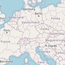
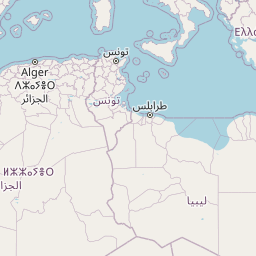
Distance Map Between Mekla and Koeln
Mekla, Tizi Ouzou, Algeria ↔ Koeln, Dusseldorf, Germany = 994 miles = 1599 km.


Leaflet | © OpenStreetMap
How far is it between Mekla and Köln
Mekla is located in Algeria with (36.6818,4.2638) coordinates and Koeln is located in Germany with (50.9333,6.95) coordinates. The calculated flying distance from Mekla to Koeln is equal to 994 miles which is equal to 1599 km.
| City/Place | Latitude and Longitude | GPS Coordinates |
|---|---|---|
| Mekla | 36.6818, 4.2638 | 36° 40´ 54.4080'' N 4° 15´ 49.6080'' E |
| Koeln | 50.9333, 6.95 | 50° 55´ 59.9880'' N 6° 57´ 0.0000'' E |
Koeln, Dusseldorf, Germany
Related Distances to Koeln
| Cities | Distance |
|---|---|
| Mila to Koeln | 3310 km |
| Algiers to Koeln | 2936 km |
| Setif to Koeln | 3188 km |
| Rouached to Koeln | 3275 km |
| Ain Abid to Koeln | 3369 km |