Distance from Menderes to Mosul
Distance between Menderes and Mosul is 1428 kilometers (887 miles).
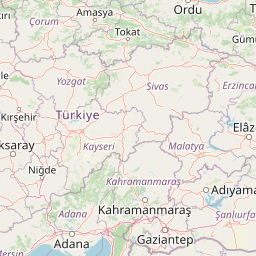
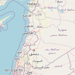
Distance Map Between Menderes and Mosul
Menderes, Izmir, Turkey ↔ Mosul, Iraq = 887 miles = 1428 km.


Leaflet | © OpenStreetMap
How far is it between Menderes and Mosul
Menderes is located in Turkey with (38.2496,27.1343) coordinates and Mosul is located in Iraq with (36.335,43.1189) coordinates. The calculated flying distance from Menderes to Mosul is equal to 887 miles which is equal to 1428 km.
| City/Place | Latitude and Longitude | GPS Coordinates |
|---|---|---|
| Menderes | 38.2496, 27.1343 | 38° 14´ 58.6680'' N 27° 8´ 3.4440'' E |
| Mosul | 36.335, 43.1189 | 36° 20´ 6.0000'' N 43° 7´ 8.0040'' E |
Menderes, Izmir, Turkey
Related Distances from Menderes
| Cities | Distance |
|---|---|
| Menderes to Baghdad | 2173 km |
| Menderes to Al Mawsil Al Jadidah | 1768 km |
Mosul, Iraq
Related Distances to Mosul
| Cities | Distance |
|---|---|
| Istanbul to Mosul | 1784 km |
| Van to Mosul | 449 km |
| Ankara to Mosul | 1332 km |
| Diyarbakir to Mosul | 434 km |
| Mardin to Mosul | 330 km |