Distance from Mendip to Bath
Distance between Mendip and Bath is 24 kilometers (15 miles).
Driving distance from Mendip to Bath is 26 kilometers (16 miles).
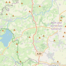
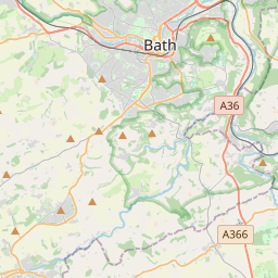
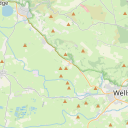
Distance Map Between Mendip and Bath
Mendip, London, United Kingdom ↔ Bath, London, United Kingdom = 15 miles = 24 km.


How far is it between Mendip and Bath
Mendip is located in United Kingdom with (51.2372,-2.6266) coordinates and Bath is located in United Kingdom with (51.3751,-2.3617) coordinates. The calculated flying distance from Mendip to Bath is equal to 15 miles which is equal to 24 km.
If you want to go by car, the driving distance between Mendip and Bath is 25.88 km. If you ride your car with an average speed of 112 kilometers/hour (70 miles/h), travel time will be 00 hours 13 minutes. Please check the avg. speed travel time table on the right for various options.
Difference between fly and go by a car is 2 km.
| City/Place | Latitude and Longitude | GPS Coordinates |
|---|---|---|
| Mendip | 51.2372, -2.6266 | 51° 14´ 13.9200'' N 2° 37´ 35.7600'' W |
| Bath | 51.3751, -2.3617 | 51° 22´ 30.3600'' N 2° 21´ 42.1920'' W |
Estimated Travel Time Between Mendip and Bath
| Average Speed | Travel Time |
|---|---|
| 30 mph (48 km/h) | 00 hours 32 minutes |
| 40 mph (64 km/h) | 00 hours 24 minutes |
| 50 mph (80 km/h) | 00 hours 19 minutes |
| 60 mph (97 km/h) | 00 hours 16 minutes |
| 70 mph (112 km/h) | 00 hours 13 minutes |
| 75 mph (120 km/h) | 00 hours 12 minutes |
Related Distances from Mendip
| Cities | Distance |
|---|---|
| Mendip to Bristol | 30 km |
| Mendip to Bath | 26 km |
| Mendip to Liverpool | 317 km |
| Mendip to Swindon | 85 km |
| Mendip to City Of London | 208 km |
Related Distances to Bath
| Cities | Distance |
|---|---|
| London to Bath | 192 km |
| Bristol to Bath | 23 km |
| Basingstoke to Bath | 117 km |
| Telford to Bath | 207 km |
| Aberdeen to Bathgate | 213 km |