Distance from Mendip to Bristol
Distance between Mendip and Bristol is 24 kilometers (15 miles).
Driving distance from Mendip to Bristol is 30 kilometers (19 miles).
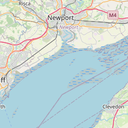
Distance Map Between Mendip and Bristol
Mendip, London, United Kingdom ↔ Bristol, London, United Kingdom = 15 miles = 24 km.
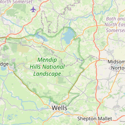
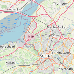


How far is it between Mendip and Bristol
Mendip is located in United Kingdom with (51.2372,-2.6266) coordinates and Bristol is located in United Kingdom with (51.4552,-2.5967) coordinates. The calculated flying distance from Mendip to Bristol is equal to 15 miles which is equal to 24 km.
If you want to go by car, the driving distance between Mendip and Bristol is 30.38 km. If you ride your car with an average speed of 112 kilometers/hour (70 miles/h), travel time will be 00 hours 16 minutes. Please check the avg. speed travel time table on the right for various options.
Difference between fly and go by a car is 6 km.
| City/Place | Latitude and Longitude | GPS Coordinates |
|---|---|---|
| Mendip | 51.2372, -2.6266 | 51° 14´ 13.9200'' N 2° 37´ 35.7600'' W |
| Bristol | 51.4552, -2.5967 | 51° 27´ 18.8280'' N 2° 35´ 47.9400'' W |
Estimated Travel Time Between Mendip and Bristol
| Average Speed | Travel Time |
|---|---|
| 30 mph (48 km/h) | 00 hours 37 minutes |
| 40 mph (64 km/h) | 00 hours 28 minutes |
| 50 mph (80 km/h) | 00 hours 22 minutes |
| 60 mph (97 km/h) | 00 hours 18 minutes |
| 70 mph (112 km/h) | 00 hours 16 minutes |
| 75 mph (120 km/h) | 00 hours 15 minutes |
Related Distances from Mendip
| Cities | Distance |
|---|---|
| Mendip to Bristol | 30 km |
| Mendip to Bath | 26 km |
| Mendip to Liverpool | 317 km |
| Mendip to Swindon | 85 km |
| Mendip to City Of London | 208 km |
Related Distances to Bristol
| Cities | Distance |
|---|---|
| London to Bristol | 190 km |
| Bath to Bristol | 22 km |
| Birmingham to Bristol | 142 km |
| Cardiff to Bristol | 73 km |
| Bournemouth to Bristol | 212 km |