Distance from Mendip to Grays
Distance between Mendip and Grays is 207 kilometers (128 miles).
Driving distance from Mendip to Grays is 255 kilometers (159 miles).
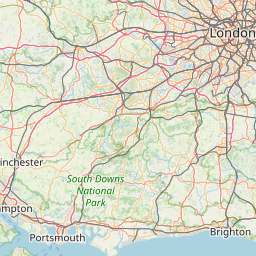
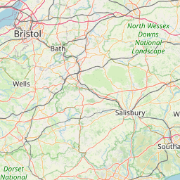
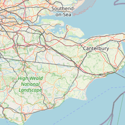
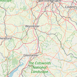
Distance Map Between Mendip and Grays
Mendip, London, United Kingdom ↔ Grays, London, United Kingdom = 128 miles = 207 km.


How far is it between Mendip and Grays
Mendip is located in United Kingdom with (51.2372,-2.6266) coordinates and Grays is located in United Kingdom with (51.4757,0.3252) coordinates. The calculated flying distance from Mendip to Grays is equal to 128 miles which is equal to 207 km.
If you want to go by car, the driving distance between Mendip and Grays is 255.2 km. If you ride your car with an average speed of 112 kilometers/hour (70 miles/h), travel time will be 02 hours 16 minutes. Please check the avg. speed travel time table on the right for various options.
Difference between fly and go by a car is 48 km.
| City/Place | Latitude and Longitude | GPS Coordinates |
|---|---|---|
| Mendip | 51.2372, -2.6266 | 51° 14´ 13.9200'' N 2° 37´ 35.7600'' W |
| Grays | 51.4757, 0.3252 | 51° 28´ 32.3760'' N 0° 19´ 30.7560'' E |
Estimated Travel Time Between Mendip and Grays
| Average Speed | Travel Time |
|---|---|
| 30 mph (48 km/h) | 05 hours 19 minutes |
| 40 mph (64 km/h) | 03 hours 59 minutes |
| 50 mph (80 km/h) | 03 hours 11 minutes |
| 60 mph (97 km/h) | 02 hours 37 minutes |
| 70 mph (112 km/h) | 02 hours 16 minutes |
| 75 mph (120 km/h) | 02 hours 07 minutes |
Related Distances from Mendip
| Cities | Distance |
|---|---|
| Mendip to Bristol | 30 km |
| Mendip to Bath | 26 km |
| Mendip to Liverpool | 317 km |
| Mendip to Swindon | 85 km |
| Mendip to City Of London | 208 km |
Related Distances to Grays
| Cities | Distance |
|---|---|
| Chelmsford to Grays | 44 km |
| Dagenham to Grays | 20 km |
| Basildon to Grays | 19 km |
| Birmingham to Grays | 228 km |
| Colchester to Grays | 79 km |