Distance from Mesa to Buckeye
Distance between Mesa and Buckeye is 71 kilometers (44 miles).
Driving distance from Mesa to Buckeye is 84 kilometers (52 miles).
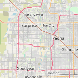
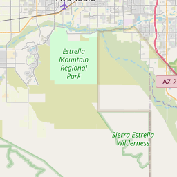
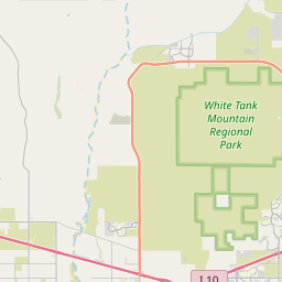
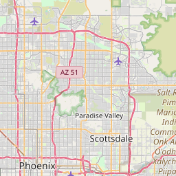
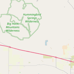
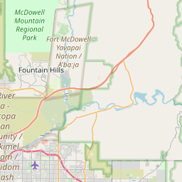
Distance Map Between Mesa and Buckeye
Mesa, Phoenix, United States ↔ Buckeye, Phoenix, United States = 44 miles = 71 km.
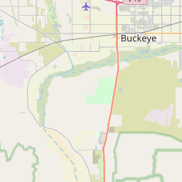
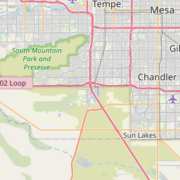

How far is it between Mesa and Buckeye
Mesa is located in United States with (33.4223,-111.8226) coordinates and Buckeye is located in United States with (33.3703,-112.5838) coordinates. The calculated flying distance from Mesa to Buckeye is equal to 44 miles which is equal to 71 km.
If you want to go by car, the driving distance between Mesa and Buckeye is 84.43 km. If you ride your car with an average speed of 112 kilometers/hour (70 miles/h), travel time will be 00 hours 45 minutes. Please check the avg. speed travel time table on the right for various options.
Difference between fly and go by a car is 13 km.
| City/Place | Latitude and Longitude | GPS Coordinates |
|---|---|---|
| Mesa | 33.4223, -111.8226 | 33° 25´ 20.1720'' N 111° 49´ 21.5040'' W |
| Buckeye | 33.3703, -112.5838 | 33° 22´ 13.1520'' N 112° 35´ 1.6080'' W |
Estimated Travel Time Between Mesa and Buckeye
| Average Speed | Travel Time |
|---|---|
| 30 mph (48 km/h) | 01 hours 45 minutes |
| 40 mph (64 km/h) | 01 hours 19 minutes |
| 50 mph (80 km/h) | 01 hours 03 minutes |
| 60 mph (97 km/h) | 00 hours 52 minutes |
| 70 mph (112 km/h) | 00 hours 45 minutes |
| 75 mph (120 km/h) | 00 hours 42 minutes |
Related Distances from Mesa
| Cities | Distance |
|---|---|
| Mesa to Goodyear | 57 km |
| Mesa to Casa Grande | 80 km |
| Mesa to Maricopa | 58 km |
| Mesa to Buckeye | 84 km |
| Mesa to Chandler | 15 km |
Related Distances to Buckeye
| Cities | Distance |
|---|---|
| Goodyear to Buckeye | 24 km |
| Surprise to Buckeye | 50 km |
| Tucson to Buckeye | 251 km |
| Mesa to Buckeye | 84 km |
| Scottsdale to Buckeye | 84 km |