Distance from Mesa to Mexicali
Distance between Mesa and Mexicali is 350 kilometers (217 miles).
Driving distance from Mesa to Mexicali is 401 kilometers (249 miles).
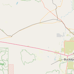
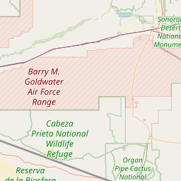
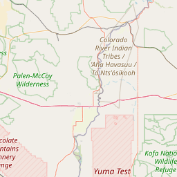
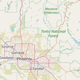
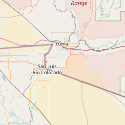
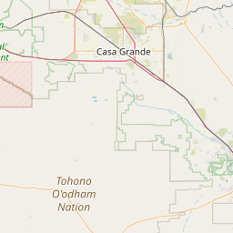
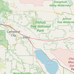
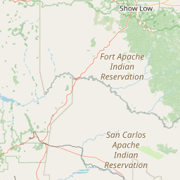
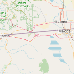
Distance Map Between Mesa and Mexicali
Mesa, Phoenix, United States ↔ Mexicali, Mexico = 217 miles = 350 km.


How far is it between Mesa and Mexicali
Mesa is located in United States with (33.4223,-111.8226) coordinates and Mexicali is located in Mexico with (32.6278,-115.4545) coordinates. The calculated flying distance from Mesa to Mexicali is equal to 217 miles which is equal to 350 km.
If you want to go by car, the driving distance between Mesa and Mexicali is 401.35 km. If you ride your car with an average speed of 112 kilometers/hour (70 miles/h), travel time will be 03 hours 35 minutes. Please check the avg. speed travel time table on the right for various options.
Difference between fly and go by a car is 51 km.
| City/Place | Latitude and Longitude | GPS Coordinates |
|---|---|---|
| Mesa | 33.4223, -111.8226 | 33° 25´ 20.1720'' N 111° 49´ 21.5040'' W |
| Mexicali | 32.6278, -115.4545 | 32° 37´ 40.1160'' N 115° 27´ 16.0560'' W |
Estimated Travel Time Between Mesa and Mexicali
| Average Speed | Travel Time |
|---|---|
| 30 mph (48 km/h) | 08 hours 21 minutes |
| 40 mph (64 km/h) | 06 hours 16 minutes |
| 50 mph (80 km/h) | 05 hours 01 minutes |
| 60 mph (97 km/h) | 04 hours 08 minutes |
| 70 mph (112 km/h) | 03 hours 35 minutes |
| 75 mph (120 km/h) | 03 hours 20 minutes |
Related Distances from Mesa
| Cities | Distance |
|---|---|
| Mesa to Mexico City | 2336 km |
| Mesa to Zapopan | 1965 km |
| Mesa to Toluca | 2317 km |
| Mesa to San Felipe 5 | 588 km |
| Mesa to San Luis Rio Colorado | 347 km |
Related Distances to Mexicali
| Cities | Distance |
|---|---|
| San Diego to Mexicali | 197 km |
| Los Angeles to Mexicali | 366 km |
| Las Vegas to Mexicali | 515 km |
| Phoenix to Mexicali | 389 km |
| Tucson to Mexicali | 478 km |