Distance from Mexico City to Mixco
Distance between Mexico City and Mixco is 1051 kilometers (653 miles).
Driving distance from Mexico City to Mixco is 1375 kilometers (854 miles).
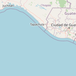
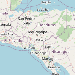
Distance Map Between Mexico City and Mixco
Mexico City, Mexico ↔ Mixco, Guatemala City, Guatemala = 653 miles = 1051 km.


How far is it between Mexico City and Mixco
Mexico City is located in Mexico with (19.4285,-99.1277) coordinates and Mixco is located in Guatemala with (14.6333,-90.6064) coordinates. The calculated flying distance from Mexico City to Mixco is equal to 653 miles which is equal to 1051 km.
If you want to go by car, the driving distance between Mexico City and Mixco is 1375.02 km. If you ride your car with an average speed of 112 kilometers/hour (70 miles/h), travel time will be 12 hours 16 minutes. Please check the avg. speed travel time table on the right for various options.
Difference between fly and go by a car is 324 km.
| City/Place | Latitude and Longitude | GPS Coordinates |
|---|---|---|
| Mexico City | 19.4285, -99.1277 | 19° 25´ 42.4920'' N 99° 7´ 39.5760'' W |
| Mixco | 14.6333, -90.6064 | 14° 37´ 59.9880'' N 90° 36´ 23.0040'' W |
Estimated Travel Time Between Mexico City and Mixco
| Average Speed | Travel Time |
|---|---|
| 30 mph (48 km/h) | 28 hours 38 minutes |
| 40 mph (64 km/h) | 21 hours 29 minutes |
| 50 mph (80 km/h) | 17 hours 11 minutes |
| 60 mph (97 km/h) | 14 hours 10 minutes |
| 70 mph (112 km/h) | 12 hours 16 minutes |
| 75 mph (120 km/h) | 11 hours 27 minutes |
Related Distances from Mexico City
| Cities | Distance |
|---|---|
| Mexico City to Guatemala City | 1352 km |
| Mexico City to Antigua Guatemala | 1416 km |
| Mexico City to Morales 3 | 1425 km |
| Mexico City to Coatepeque | 1147 km |
| Mexico City to Mixco | 1375 km |
Related Distances to Mixco
| Cities | Distance |
|---|---|
| Mexico City to Mixco | 1375 km |
| Tres De Mayo to Mixco | 1492 km |
| Leon to Mixco | 1812 km |
| Ciudad Nezahualcoyotl to Mixco | 1344 km |
| Toluca to Mixco | 1503 km |