Distance from Middlesbrough to Wigan
Distance between Middlesbrough and Wigan is 147 kilometers (91 miles).
Driving distance from Middlesbrough to Wigan is 202 kilometers (126 miles).
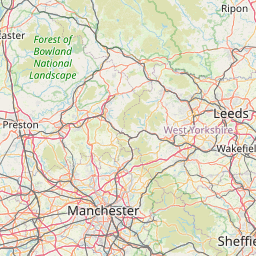
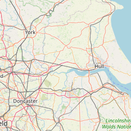
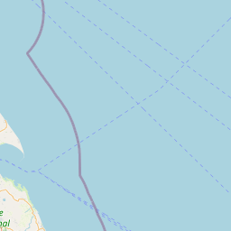
Distance Map Between Middlesbrough and Wigan
Middlesbrough, London, United Kingdom ↔ Wigan, London, United Kingdom = 91 miles = 147 km.


How far is it between Middlesbrough and Wigan
Middlesbrough is located in United Kingdom with (54.5762,-1.2348) coordinates and Wigan is located in United Kingdom with (53.5333,-2.6167) coordinates. The calculated flying distance from Middlesbrough to Wigan is equal to 91 miles which is equal to 147 km.
If you want to go by car, the driving distance between Middlesbrough and Wigan is 202.09 km. If you ride your car with an average speed of 112 kilometers/hour (70 miles/h), travel time will be 01 hours 48 minutes. Please check the avg. speed travel time table on the right for various options.
Difference between fly and go by a car is 55 km.
| City/Place | Latitude and Longitude | GPS Coordinates |
|---|---|---|
| Middlesbrough | 54.5762, -1.2348 | 54° 34´ 34.4280'' N 1° 14´ 5.3880'' W |
| Wigan | 53.5333, -2.6167 | 53° 31´ 59.9880'' N 2° 37´ 0.0120'' W |
Estimated Travel Time Between Middlesbrough and Wigan
| Average Speed | Travel Time |
|---|---|
| 30 mph (48 km/h) | 04 hours 12 minutes |
| 40 mph (64 km/h) | 03 hours 09 minutes |
| 50 mph (80 km/h) | 02 hours 31 minutes |
| 60 mph (97 km/h) | 02 hours 05 minutes |
| 70 mph (112 km/h) | 01 hours 48 minutes |
| 75 mph (120 km/h) | 01 hours 41 minutes |
Related Distances from Middlesbrough
| Cities | Distance |
|---|---|
| Middlesbrough to Newcastle Upon Tyne | 64 km |
| Middlesbrough to Stockton On Tees | 10 km |
| Middlesbrough to York | 79 km |
| Middlesbrough to Sunderland | 48 km |
| Middlesbrough to Scarborough | 79 km |
Related Distances to Wigan
| Cities | Distance |
|---|---|
| Manchester to Wigan | 40 km |
| Liverpool to Wigan | 37 km |
| Bolton to Wigan | 17 km |
| Halifax 2 to Wigan | 72 km |
| City Of London to Wigan | 345 km |